MissDelta Initiative
@missdeltaintiative.bsky.social
13 followers 11 following 77 posts
Mississippi River Delta Transition Initiative, funded by NAS Gulf Research Program Advancing the best possible science to understand the future of the Birdsfoot Delta region. Committed to building a more diverse coastal workforce missdelta.org
Posts Media Videos Starter Packs
missdeltaintiative.bsky.social
Now Mariotti and other MissDelta modelers will use the same techniques to better understand the future of the Birdsfoot
missdeltaintiative.bsky.social
This model represents 2500 years of evolution of a New England marsh.

Most marsh modeling is based on short term measurements, but MissDelta's Giulio Mariotti built in factors like currents and sediment movement that allowed him to represent long term growth and changes in the marsh.
missdeltaintiative.bsky.social
This October, come by and see us at one of these awesome events!
missdeltaintiative.bsky.social
MissDelta researchers had a great time at a recent Boys at Tulane in STEM event! We 💚 coastal science!
missdeltaintiative.bsky.social
This research allows MissDelta to build a stronger understanding of river conditions during saltwater intrusion, including calibrating predictive numerical models, so we can help communities in the lower Mississippi River prepare for changing conditions and build a more sustainable future.
missdeltaintiative.bsky.social
If the wedge progresses upstream of water intakes in Plaquemines Parish, and even the Greater New Orleans area, it can impact drinking water supplies for all communities that rely on drinking water from the Mississippi River.
missdeltaintiative.bsky.social
will likely require a decision by the US Army Corps of Engineers to initiate construction of the underwater sand sill at River Mile 63.

This will mark the extraordinary 4th consecutive year the sill will be required to stop continued upstream migration of the salt wedge.
missdeltaintiative.bsky.social
These observations, along with projections of falling river discharge over the next month forecast by NOAA and linked to a prolonged drought in parts of the Mississippi River Basin,
missdeltaintiative.bsky.social
Researchers studied the temperature, salinity and sediment concentration of the water and the speed of the river and wedge current down the axis of the river below New Orleans. During this study the upstream toe (or tip) of the wedge was found to be around River Mile 33, below Port Sulphur.
missdeltaintiative.bsky.social
MissDelta scientists hit the water last week to to map the location of the saltwater wedge encroaching up the Mississippi River.

Learn about their work ⤵️
missdeltaintiative.bsky.social
Brannum says she hopes her research can help in coastal restoration. “I am most excited to use my research to guide vegetation plantings and restoration projects that leverage the benefits of vegetation to protect our coastlines.”
missdeltaintiative.bsky.social
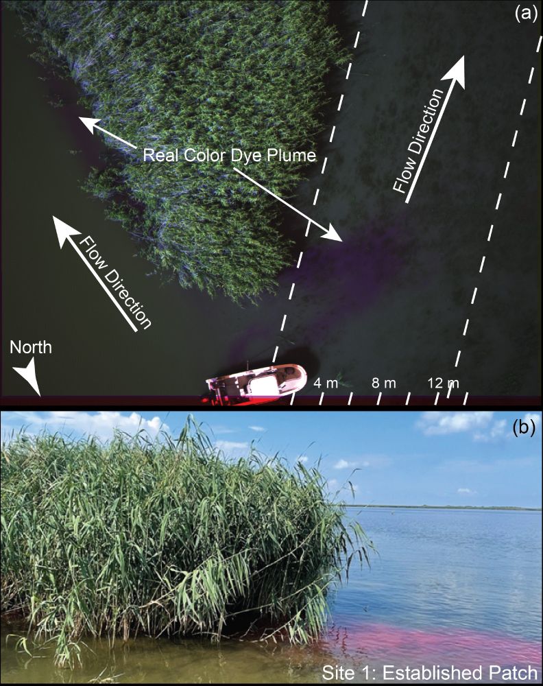
She uses an acoustic doppler current profiler to measure the speed of water flow in deeper parts of the channel.

Although the ADCP and dye measure different things, she says, they “do generally agree about the system having faster water speed through the channel compared to the platform.”
missdeltaintiative.bsky.social
Brannum collects water samples to measure volume of sediment.

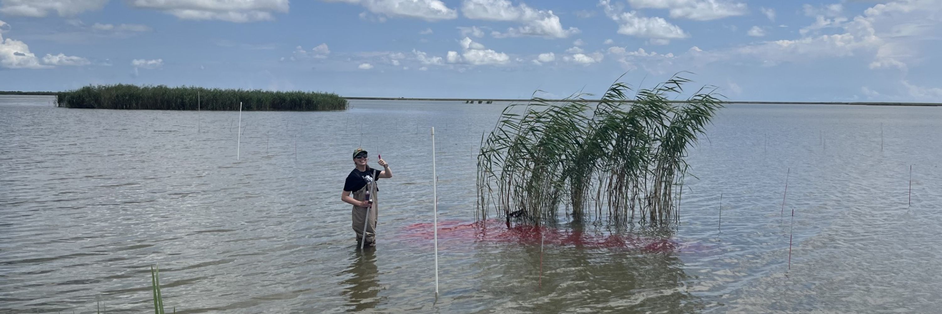
She tracks the flow of water on the marsh platform by putting dye in, then using drones to track the flow patterns.
missdeltaintiative.bsky.social
📣It’s Estuaries Week 🌱 Time to take a look at MissDelta’s work in Louisiana’s coastal marshes.

Sarah Brannum, a PhD student at LSU, wants to better understand how vegetation affects the flow of water and sediment in the marsh.

Read about her work and the methods she uses⤵️
Reposted by MissDelta Initiative
missdeltaintiative.bsky.social
Are you a MissDelta student researcher? We’d like to hear from you!

This fall we’ll be featuring the hard work and contributions of our student researchers on our social media pages.

Fill out this form to get started: forms.cloud.microsoft/r/Cqsjrtzfbh
missdeltaintiative.bsky.social
New paper alert!

Silt and clay look the same combined in the estuarine mud of the Delta. But differentiating between them could help researchers understand delta dynamics

MissDelta's Giulio Mariotti may have found a way to do just that

doi.org/10.1016/j.cs...

#missdelta #scicomm #coastalscience
missdeltaintiative.bsky.social
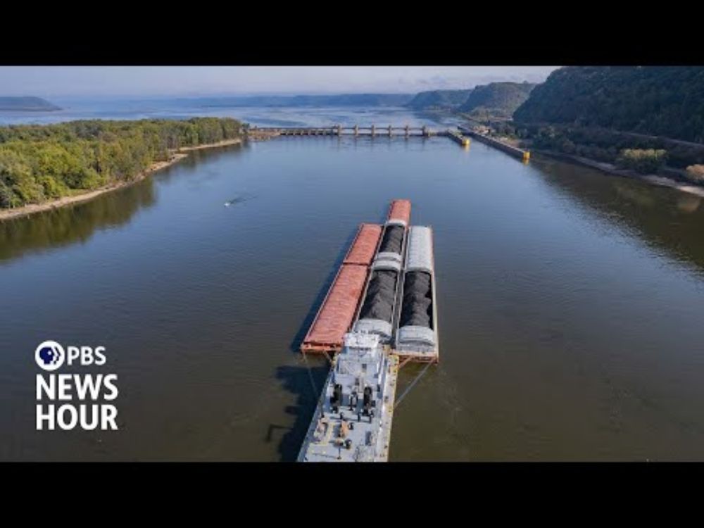
At the mouth of the Mississippi River sits one of the most important and endangered ecosystems in the country.

This piece from @pbsnews.org highlights some of the work MissDelta researchers and their colleagues are doing to understand and preserve this vulnerable area.

youtu.be/f9SUSNrl9Lo?...
Scientists face ecological and economic hurdles to save Mississippi River Delta
YouTube video by PBS NewsHour
youtu.be
missdeltaintiative.bsky.social
Engaging scientific activities like these not only help students build their scientific knowledge, they also develop the critical thinking and analytical skills essential for the STEM workforce of tomorrow.
missdeltaintiative.bsky.social
The activity leads into discussions of climate, and how changes in one region can affect another – for example how heavy rainfall in the Northeastern United States can impact communities living at the mouth of the Mississippi.
missdeltaintiative.bsky.social
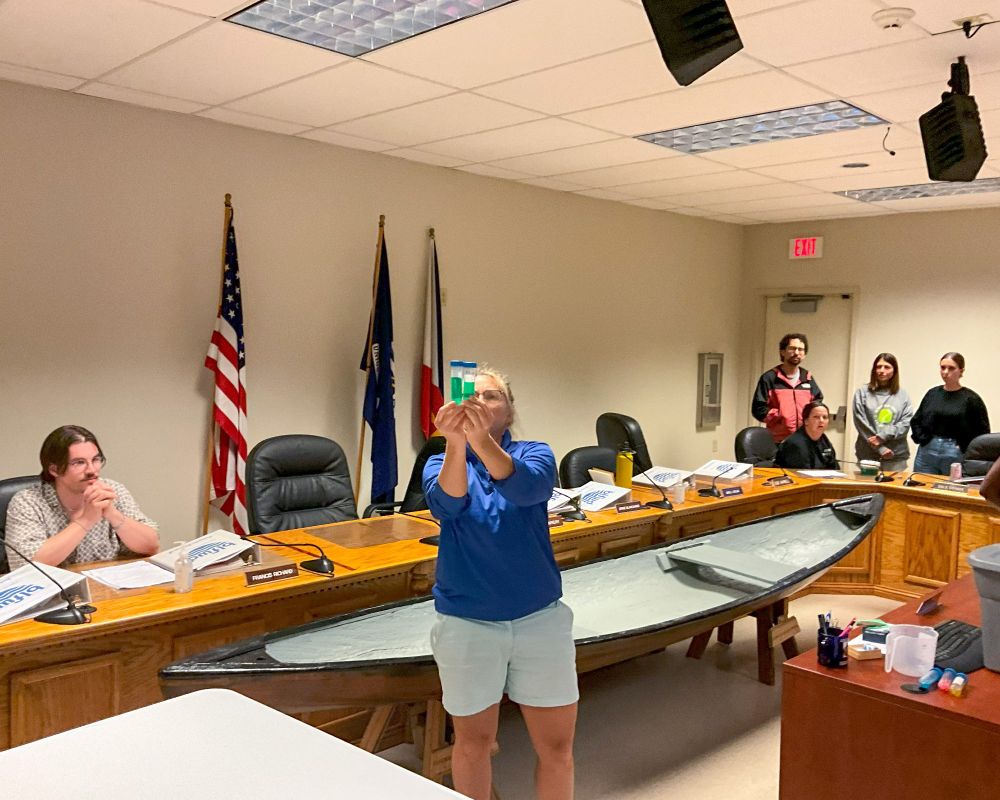
Participants track “rainfall” over the course of 8 months by rolling dice, and recording the results. Each roll represents one month, or “weather.” The average of those 8 rolls? Climate.
missdeltaintiative.bsky.social
@LASeagrant has some ideas. At a MissDelta professional development held earlier this summer, K12 elementary teachers were shown an activity to help students begin to understand the concept.
missdeltaintiative.bsky.social
How do you show elementary-age students the difference between weather and climate?