Jakub Nowosad
@nowosad.fosstodon.org.ap.brid.gy
280 followers 0 following 130 posts
Computational geographer. Associate Professor at AMU, Poznan, Poland. Co-author of http://r.geocompx.org, http://py.geocompx.org, and http://r-tmap.github.io […] [bridged from https://fosstodon.org/@nowosad on the fediverse by https://fed.brid.gy/ ]
Posts Media Videos Starter Packs
nowosad.fosstodon.org.ap.brid.gy
New blog post by Adam Steer: Identifying deformed sea ice using geomorphons ❄️🌊

Exploring sea ice as a landscape analysis problem with QGIS + GRASS GIS, using drone + lidar data.

👉 https://www.spatialised.net/identifying-deformed-sea-ice-using-geomorphons/

#geospatial #rstats #rspatial #gischat
nowosad.fosstodon.org.ap.brid.gy
Starting out with geographic data in Python? 🌍🐍

Chapter 1 of Geocomputation with Python introduces vector & raster models + core tools (geopandas, shapely, rasterio).

👉 https://py.geocompx.org/01-spatial-data

#geopython #python #gischat
nowosad.fosstodon.org.ap.brid.gy
New post by David O’Sullivan:

“Raster really is faster (and vaster), but vector just seems more corrector.”

Part 1A of a series revisiting ideas from Geographic Information Analysis: fractals, raster vs vector, and R code.

👉 […]

[Original post on fosstodon.org]
Reposted by Jakub Nowosad
qwast-gis.com
🎥 I've published a video based on my #geomobNL talk in Eindhoven on 18 Sept on #digitalsovereignty & #opensource for geo, covering procurement, policy, and community-driven development.

Watch here: youtu.be/0u6tPM-USHY

💬 Feel free to share your comments.
Digital Sovereignty and Open Source Software for Geo
YouTube video by Hans van der Kwast
youtu.be
Reposted by Jakub Nowosad
barneyharris.sciences.social.ap.brid.gy
hivemind style question about spatial model sampling strategy: when modelling a highly spatially autocorrelated response such as the one shown here, I found the only way to produce models with correctable spatial autocorrelation (using eigenvectors) in the […]

[Original post on sciences.social]
A map showing a response variable with various points used for sampling for a series of models.
nowosad.fosstodon.org.ap.brid.gy
🌍Exploring Sentinel-2 with the Copernicus Data Space Ecosystem (CDSE)?

Hugh Graham’s guide with vrtility in #rstats. Includes authentication & query of imagery and building cloud-free composites […]

[Original post on fosstodon.org]
nowosad.fosstodon.org.ap.brid.gy
This week (Sep 15–19) I’m attending the #ecmlpkdd2025 conf in Porto!

Happy to chat about the intersection of machine learning and spatial data -- reach out if you’d like to meet. 🌍

#ECMLPKDD2025 #machinelearning #geospatial
nowosad.fosstodon.org.ap.brid.gy
🚀 Book in progress: Spatial Data Visualization with tmap

A practical guide to creating clear thematic maps in R with the tmap package.
Covers everything from loading data to interactive and animated maps, with reproducible code and examples.

Read online […]

[Original post on fosstodon.org]
nowosad.fosstodon.org.ap.brid.gy
📢 Materials from the OpenGeoHub Summer School 2025 (“Data Science for Earth Observation”) by Krzysztof Dyba are now online.

Discuss how to access, process, and analyze satellite data with #rstats.
👉 https://github.com/kadyb/OGH2025

#rspatial #remotesensing #gischat
nowosad.fosstodon.org.ap.brid.gy
🌍 Call for Papers! Submit to the Progress in Physical Geography special issue:
Coding Earth: Open Source Solutions in Physical Geography

📅 Deadline: 18 Dec 2025
🔗 journals.sagepub.com/home/ppg

#opensource #openscience #gischat #rspatial #geopython
nowosad.fosstodon.org.ap.brid.gy
We’ve updated the geocompx README.

Find guides, books, and tools for geocomputation in R, Python, and Julia — plus ways to get involved.

Take a look: https://github.com/geocompx

#geocomputation #rstats #python #opensource #geocompx
nowosad.fosstodon.org.ap.brid.gy
📦 New R package: sfhotspot by Matt Ashby

Identify & analyze spatial clusters of points (places/events) entirely with sf objects.
Includes tools for counts, change over time, kernel density, Getis–Ord Gi*, & classification.

🔗 GitHub […]

[Original post on fosstodon.org]
nowosad.fosstodon.org.ap.brid.gy
🌍 Which geospatial conferences are you excited about in 2026?

I'm compiling a list at https://github.com/Nowosad/conferences_2026 -- please contribute events you know about!

What am I missing?

#gis #remotesensing #spatialdata #gischat
nowosad.fosstodon.org.ap.brid.gy
🚀 From soil to space (and back) : PhD position using satellites & ML to study peatland carbon flux. Based in Münster, with research stays in Enschede.

📅 Apply before 15 Sept 2025

🔗 https://stellen.uni-muenster.de/jobposting/112b1672862ecf6f36fedb4835a68b8e4b77c78e0

#remotesensing #phd […]
Original post on fosstodon.org
fosstodon.org
nowosad.fosstodon.org.ap.brid.gy
Chapter 16: Summary & Future of Geocomputation 🚀📖

What’s next? 📌 This final chapter reflects on key themes, gaps, and the future of geocomputation. Crucially, learn how to contribute to open-source spatial communities!

🔗 https://r.geocompx.org/conclusion

#rstats #rspatial #geocompx
nowosad.fosstodon.org.ap.brid.gy
Check out "Scaling the r-spatial ecosystem" by Dewey Dunnington 🌍📦
An exploration of how R’s spatial tools can be used for big(ger) data.

Video: https://youtu.be/tjNEoIYr_ag?feature=shared
Slides: https://dewey.dunnington.ca/slides/rspatial2025

#rstats #rspatial #gis #spatialdata
nowosad.fosstodon.org.ap.brid.gy
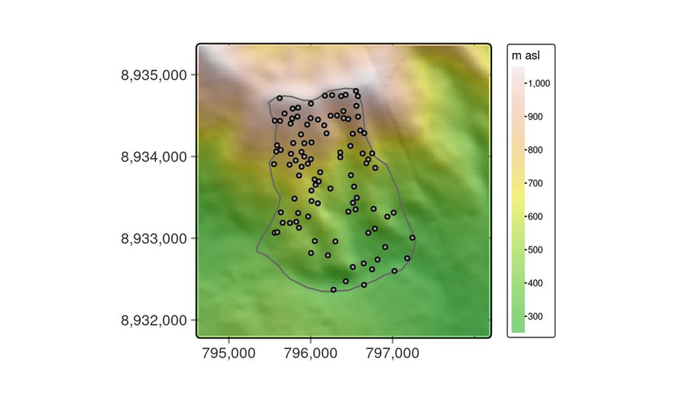
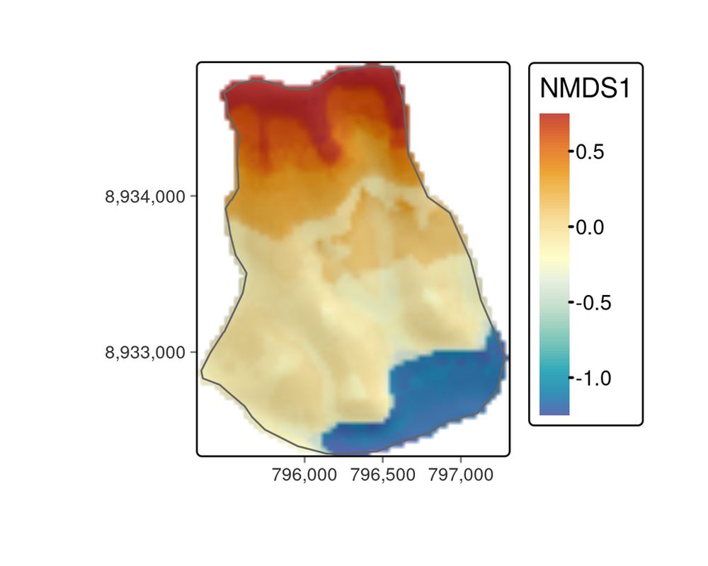
Chapter 15: Ecological Modeling & Geocomputation 🌱🗺️

Modeling the floristic gradient to reveal distinctive vegetation belts! 📌 Learn spatial modeling techniques with random forests & hyperparameter tuning to analyze ecological data in R.

🔗 https://r.geocompx.org/eco

#rstats #rspatial #geocompx
nowosad.fosstodon.org.ap.brid.gy
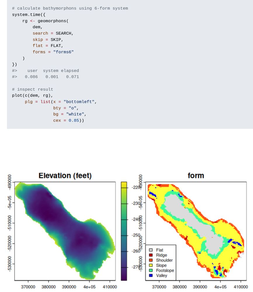
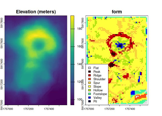
New R package: rgeomorphon 📦 by Andrew Brown

Classifies terrain forms using a parallel C++ implementation of the geomorphon algorithm.

🔗 https://github.com/brownag/rgeomorphon

#rstats #gis #terrainanalysis #remotesensing #rspatial
nowosad.fosstodon.org.ap.brid.gy
@erc_bk It may be (but it is probably impossible to guess). These relationships are v. complex and depend on the problem. Sometimes a proximity is essential (maybe with some weight), but also -- how to measure this proximity: as a straight line, along the roads, using transportation modes, etc...
nowosad.fosstodon.org.ap.brid.gy
Chapter 14: Geomarketing & Location Analysis 🏪📍

Where should you open a bike shop? 📌 Learn how to use census & OpenStreetMap data for spatial decision-making in geomarketing & site selection.

🔗 https://r.geocompx.org/location

#rstats #rspatial #geocompx
nowosad.fosstodon.org.ap.brid.gy
Have you read Geocomputation with R?📘
If you found it helpful, we’d really appreciate a quick review — it helps others find the book too!

Goodreads: https://www.goodreads.com/book/show/214736719-geocomputation-with-r
Amazon […]

[Original post on fosstodon.org]
The book cover
nowosad.fosstodon.org.ap.brid.gy
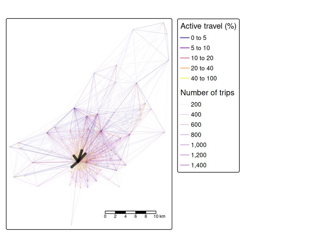
Chapter 13: Transport Systems Analysis 🚶🚴🚌

Model transport networks! 📌 Analyze travel patterns, desire lines, routes, and accessibility using open data and reproducible geospatial workflows in R.

🔗 https://r.geocompx.org/transport

#rstats #rspatial #geocompx
nowosad.fosstodon.org.ap.brid.gy
🌲 New R package: forestdata makes it easy to download forestry and land cover data from multiple sources (Copernicus, ESRI, EU-Trees4F, and more). Supports sf, SpatRaster, and tidy outputs.

Explore it here: https://cidree.github.io/forestdata/

#rstats #rspatial #forestry #landcover