Peter McKeague
@peter-mckeague.bsky.social
570 followers
570 following
11 posts
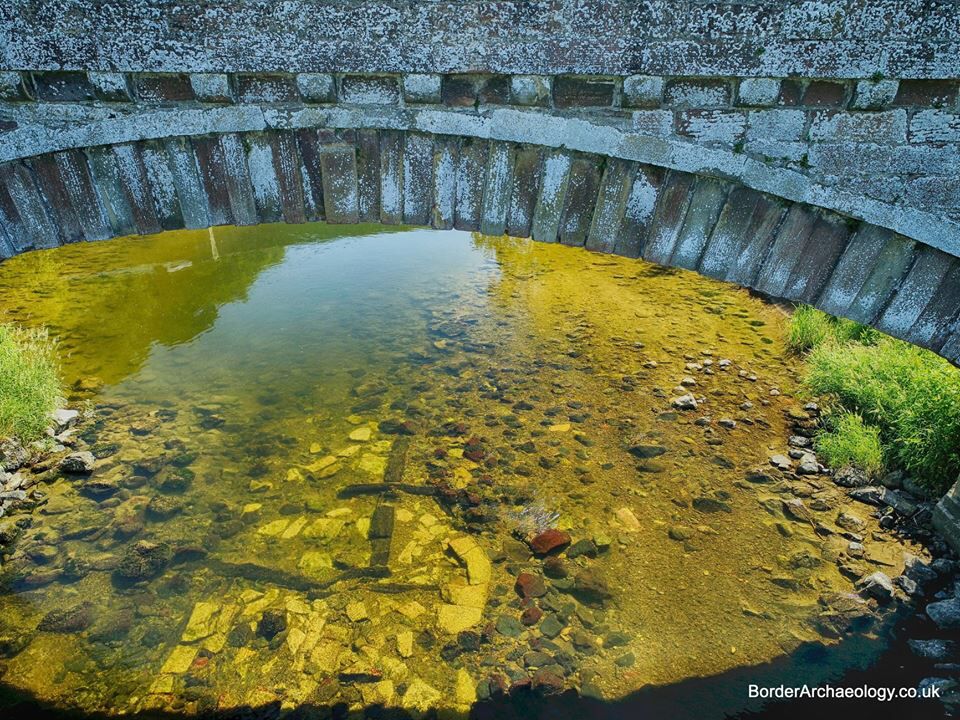
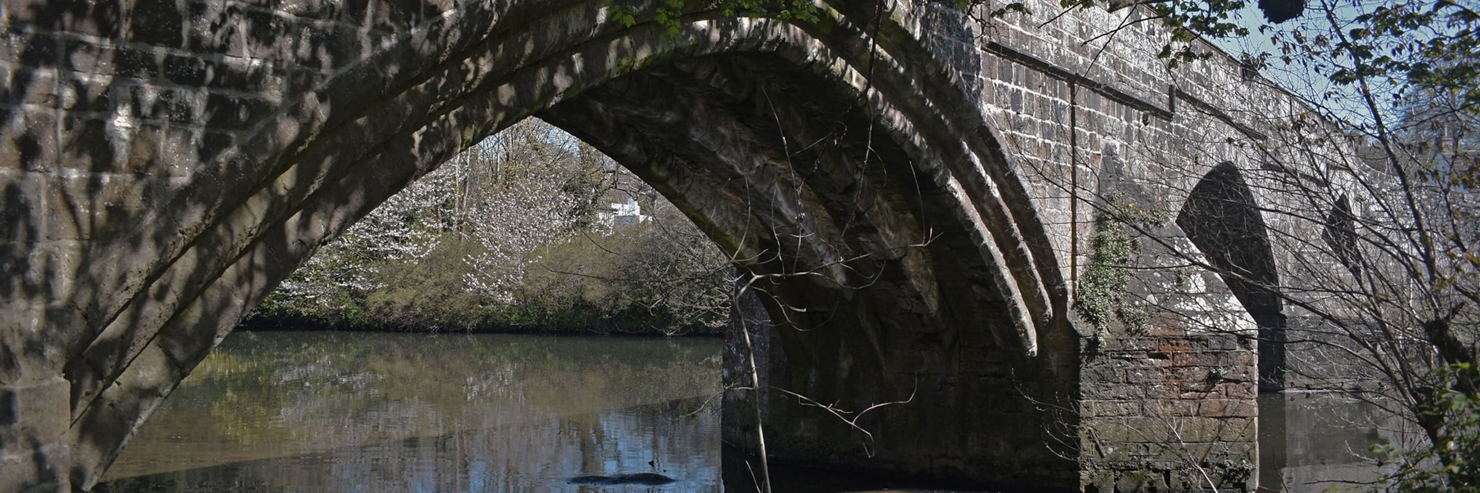
Archaeologist. Interests range from digital heritage including spatial data to bridges and associated structures (Bridge chapels etc). All views my own.
Posts
Media
Videos
Starter Packs


Reposted by Peter McKeague
Helen Spencer
@helspencer.bsky.social
· Dec 2
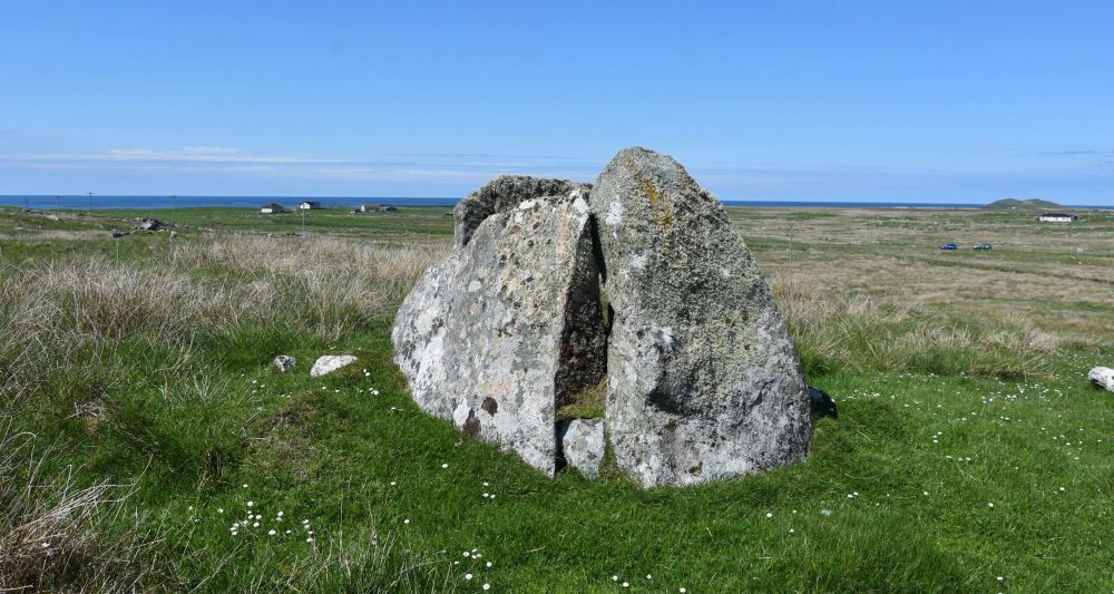
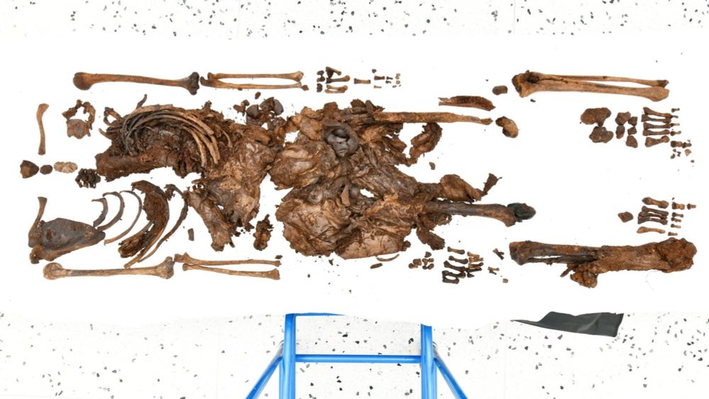
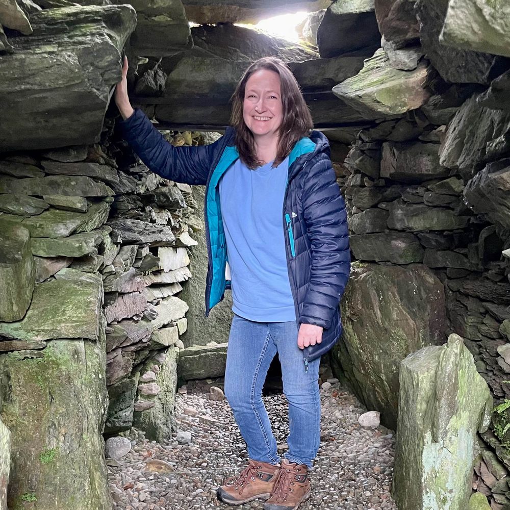
New Society Grant Funds Archaeologists to Investigate Scotland’s Earliest Tombs with Local Communities - Society of Antiquaries of Scotland
A major new project will investigate Scotland’s Early Neolithic megalithic chambered and passage tombs and aim to answer key questions about when they were built and who built them. Thanks to a large ...
www.socantscot.org
Reposted by Peter McKeague


Reposted by Peter McKeague

Reposted by Peter McKeague


Reposted by Peter McKeague