


Postholer - Hiking & GIS
@postholer.com
GIS, Interactive & Printed Trail Maps, Data Books, Trip Planners, Snow, Wildfires, Gear Lists, Open Source, GDAL Evangelist. https://www.postholer.com, https://cloudnativemaps.com, https://femafhz.com
Here's an interactive map with the same data. Double-click anywhere to get the annual precipitation for an exact location:
www.femafhz.com/map/48.62379...
www.femafhz.com/map/48.62379...

November 12, 2025 at 5:37 PM
Here's an interactive map with the same data. Double-click anywhere to get the annual precipitation for an exact location:
www.femafhz.com/map/48.62379...
www.femafhz.com/map/48.62379...


November 12, 2025 at 4:50 AM
Comparison of NBM QPF (precipitation) forecast model vs actual QPF amounts, for 2 events, Oct 24-27 and Nov 04-06 2025 along the California north coast. Consistency is an issue. @nws.noaa.gov #weather #california


November 7, 2025 at 7:07 PM
Comparison of NBM QPF (precipitation) forecast model vs actual QPF amounts, for 2 events, Oct 24-27 and Nov 04-06 2025 along the California north coast. Consistency is an issue. @nws.noaa.gov #weather #california
National Risk Index, Riverine Flooding - Expected Annual Loss Rate - National Percentile shown. Choose category by state, county or census tract #polygons.
www.femafhz.com/map/35.13787...
#30DayMapChallenge
www.femafhz.com/map/35.13787...
#30DayMapChallenge


November 3, 2025 at 7:49 PM
National Risk Index, Riverine Flooding - Expected Annual Loss Rate - National Percentile shown. Choose category by state, county or census tract #polygons.
www.femafhz.com/map/35.13787...
#30DayMapChallenge
www.femafhz.com/map/35.13787...
#30DayMapChallenge
Using PostGIS ST_LineInterpolatePoints to evenly get points from line features (roads) and ST_ClusterDBScan to get (mostly) non-overlapping points for road shields on interactive map.
Using only st_clusterdbscan for non-overlaping GNIS place names.
#30DayMapChallenge #points #postgis #leafletjs
Using only st_clusterdbscan for non-overlaping GNIS place names.
#30DayMapChallenge #points #postgis #leafletjs

November 1, 2025 at 3:52 AM
Using PostGIS ST_LineInterpolatePoints to evenly get points from line features (roads) and ST_ClusterDBScan to get (mostly) non-overlapping points for road shields on interactive map.
Using only st_clusterdbscan for non-overlaping GNIS place names.
#30DayMapChallenge #points #postgis #leafletjs
Using only st_clusterdbscan for non-overlaping GNIS place names.
#30DayMapChallenge #points #postgis #leafletjs
Here's a National Risk Index map for those disasters, except interactive, at state, county, census tract level for 24 different categories and 20+ metrics, percentile, expected annual loss, etc ,etc. 2022 data.
Riverine Flooding shown:
www.femafhz.com/map/36.98500...
Riverine Flooding shown:
www.femafhz.com/map/36.98500...

October 27, 2025 at 3:48 PM
Here's a National Risk Index map for those disasters, except interactive, at state, county, census tract level for 24 different categories and 20+ metrics, percentile, expected annual loss, etc ,etc. 2022 data.
Riverine Flooding shown:
www.femafhz.com/map/36.98500...
Riverine Flooding shown:
www.femafhz.com/map/36.98500...
Fully interactive map of #Melissa, with the most up-to-date NHC data:
www.femafhz.com/map/19.43551...
www.femafhz.com/map/19.43551...

October 27, 2025 at 3:34 PM
Fully interactive map of #Melissa, with the most up-to-date NHC data:
www.femafhz.com/map/19.43551...
www.femafhz.com/map/19.43551...
Here's the same result using only #GDAL, cutting out the python nastiness:
Simplify:
gdal vector simplify --input=states.gpkg --tolerance=.5 --output=simple.gpkg
Clean coverage:
gdal vector clean-coverage --input=simple.gpkg --snapping-distance=.7 --output=clleaned.gpkg
Simplify:
gdal vector simplify --input=states.gpkg --tolerance=.5 --output=simple.gpkg
Clean coverage:
gdal vector clean-coverage --input=simple.gpkg --snapping-distance=.7 --output=clleaned.gpkg


October 26, 2025 at 5:46 PM
Here's the same result using only #GDAL, cutting out the python nastiness:
Simplify:
gdal vector simplify --input=states.gpkg --tolerance=.5 --output=simple.gpkg
Clean coverage:
gdal vector clean-coverage --input=simple.gpkg --snapping-distance=.7 --output=clleaned.gpkg
Simplify:
gdal vector simplify --input=states.gpkg --tolerance=.5 --output=simple.gpkg
Clean coverage:
gdal vector clean-coverage --input=simple.gpkg --snapping-distance=.7 --output=clleaned.gpkg
#Melissa Cat 2-4, Sun 8am to Tues 8am, with Jamaica on the right hand side of the storm, 50km away. Brutal.
www.femafhz.com/map/17.66233...
www.femafhz.com/map/17.66233...

October 23, 2025 at 4:34 PM
#Melissa Cat 2-4, Sun 8am to Tues 8am, with Jamaica on the right hand side of the storm, 50km away. Brutal.
www.femafhz.com/map/17.66233...
www.femafhz.com/map/17.66233...
"GeoParquet file plonked on a web server" is disingenuous. Only Spark/SedonaDB query by polygon/attribute, requiring HDFS.
Examples DuckDB, GeoPandas, GDAL all use bbox. With FGB you don't need any of that. Overture 145M buildings, single 35GB FGB remote web server:
www.femafhz.com/map/26.90634...
Examples DuckDB, GeoPandas, GDAL all use bbox. With FGB you don't need any of that. Overture 145M buildings, single 35GB FGB remote web server:
www.femafhz.com/map/26.90634...

October 16, 2025 at 4:54 PM
"GeoParquet file plonked on a web server" is disingenuous. Only Spark/SedonaDB query by polygon/attribute, requiring HDFS.
Examples DuckDB, GeoPandas, GDAL all use bbox. With FGB you don't need any of that. Overture 145M buildings, single 35GB FGB remote web server:
www.femafhz.com/map/26.90634...
Examples DuckDB, GeoPandas, GDAL all use bbox. With FGB you don't need any of that. Overture 145M buildings, single 35GB FGB remote web server:
www.femafhz.com/map/26.90634...

According to Bureau of Reclamation, Powell has a 10% chance of 'minimum power pool' for 2027/28/30. 3% chance for 2029.
Mead has 7% chance for 2029, 3% for 2030, otherwise 0%.
www.usbr.gov/lc/region/g4...
Mead has 7% chance for 2029, 3% for 2030, otherwise 0%.
www.usbr.gov/lc/region/g4...


October 9, 2025 at 1:20 AM
According to Bureau of Reclamation, Powell has a 10% chance of 'minimum power pool' for 2027/28/30. 3% chance for 2029.
Mead has 7% chance for 2029, 3% for 2030, otherwise 0%.
www.usbr.gov/lc/region/g4...
Mead has 7% chance for 2029, 3% for 2030, otherwise 0%.
www.usbr.gov/lc/region/g4...
Interactive map, always the latest info:
www.femafhz.com/map/27.32653...
www.femafhz.com/map/27.32653...

October 8, 2025 at 12:30 AM
Interactive map, always the latest info:
www.femafhz.com/map/27.32653...
www.femafhz.com/map/27.32653...
Always current interactive map, tracks, intensity, wind fields, watches & warnings, etc:
www.femafhz.com/map/38.03078...
www.femafhz.com/map/38.03078...

September 28, 2025 at 3:32 PM
Always current interactive map, tracks, intensity, wind fields, watches & warnings, etc:
www.femafhz.com/map/38.03078...
www.femafhz.com/map/38.03078...
Always current interactive map, tracks, intensity, wind fields, watches & warnings, etc:
www.femafhz.com/map/38.03078...
www.femafhz.com/map/38.03078...
September 28, 2025 at 3:31 PM
Always current interactive map, tracks, intensity, wind fields, watches & warnings, etc:
www.femafhz.com/map/38.03078...
www.femafhz.com/map/38.03078...

September 26, 2025 at 10:06 PM
Per the #PCTA:
"The Trump Administration this week formally announced its intention to roll back longstanding protections for Inventoried Roadless Areas in National Forests..."
www.pcta.org/2025/scrappi...
Map for all trails, layers->Protected Areas->Roadless Areas:
www.postholer.com/trail-maps
"The Trump Administration this week formally announced its intention to roll back longstanding protections for Inventoried Roadless Areas in National Forests..."
www.pcta.org/2025/scrappi...
Map for all trails, layers->Protected Areas->Roadless Areas:
www.postholer.com/trail-maps

September 5, 2025 at 5:37 PM
Per the #PCTA:
"The Trump Administration this week formally announced its intention to roll back longstanding protections for Inventoried Roadless Areas in National Forests..."
www.pcta.org/2025/scrappi...
Map for all trails, layers->Protected Areas->Roadless Areas:
www.postholer.com/trail-maps
"The Trump Administration this week formally announced its intention to roll back longstanding protections for Inventoried Roadless Areas in National Forests..."
www.pcta.org/2025/scrappi...
Map for all trails, layers->Protected Areas->Roadless Areas:
www.postholer.com/trail-maps
Interactive with flood, risk & tons more:
www.femafhz.com/map/37.84965...
www.femafhz.com/map/37.84965...

September 4, 2025 at 6:05 PM
Interactive with flood, risk & tons more:
www.femafhz.com/map/37.84965...
www.femafhz.com/map/37.84965...
Interactive:
www.femafhz.com/map/22.89978...
www.femafhz.com/map/22.89978...

September 3, 2025 at 9:12 PM
Interactive:
www.femafhz.com/map/22.89978...
www.femafhz.com/map/22.89978...
Interactive:
www.femafhz.com/map/32.67719...
www.femafhz.com/map/32.67719...

September 2, 2025 at 4:48 PM
Interactive:
www.femafhz.com/map/32.67719...
www.femafhz.com/map/32.67719...

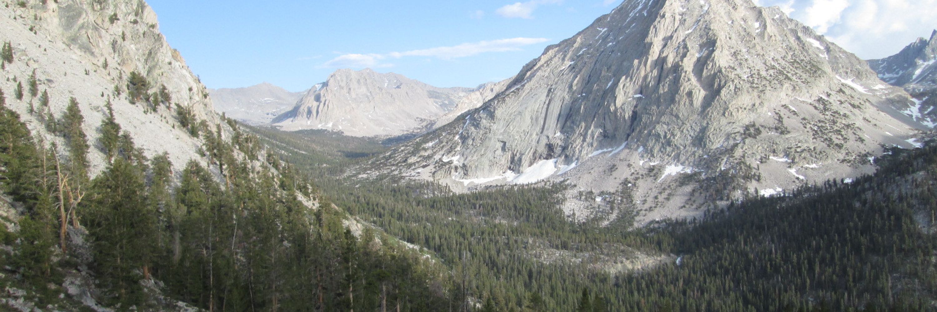
August 28, 2025 at 8:38 PM

August 20, 2025 at 4:43 PM

August 16, 2025 at 6:24 PM
The northern 3rd of the #PacificCrestTrail is gonna see some significant rain. Get a current forecast and tread carefully!
www.postholer.com/map/Pacific-...
www.postholer.com/map/Pacific-...

August 15, 2025 at 3:24 AM
The northern 3rd of the #PacificCrestTrail is gonna see some significant rain. Get a current forecast and tread carefully!
www.postholer.com/map/Pacific-...
www.postholer.com/map/Pacific-...