Charlotte Leib
@charlotte-leib.bsky.social
1.9K followers 570 following 220 posts
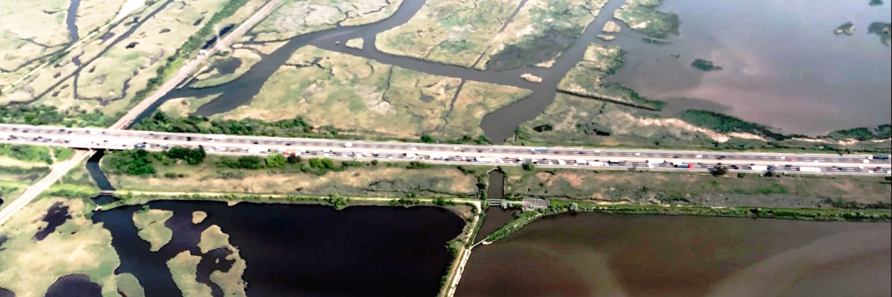
PhD cand. @Yale writing an #envhist of the NJ Meadowlands centered on the transition from the organic to fossil economies. Trained in landscape, energy, early Am.& US history, w/ broader interests in histories of tech, capitalism, climate charlotteleib.com
Posts Media Videos Starter Packs
Pinned
charlotte-leib.bsky.social
Are you fan of old photos? Stories about lost wetlands? Want to learn about an obscure engineering #tech that's contributing to #climatechange?

Read my new piece on how 100yrs of hydrological engineering & roadbuilding contributed to the recent #LAFires on @urbanhistorya.bsky.social's The Metropole
Engineering Nature, Igniting Risk: LA’s Fires and a Century of Landscape Manipulation
Editor’s note: In anticipation of what we all believe will be a stellar UHA conference this October 9-12 in Los Angeles, we are featuring Los Angeles as our theme this month. This is our fifth post…
themetropole.blog
charlotte-leib.bsky.social
Join the conversation at this year’s UHA conference with the hashtag #UHA2025LA 📑🌴🌆

We’ll “re-skeet” your panels if you promote ‘em! So get at it!
urbanhistorya.bsky.social
Lookout for Margaret & @[email protected] 's posts on the UHA's BlueSky & Instagram accounts starting today & thru the conference weekend.

Re-share, reply & tag #UHA2025LA to promote your work, celebrate the work of presentees & join the conversation! …and don't forget to give us a follow!
Reposted by Charlotte Leib
lawrencecphd.bsky.social
I’m delighted to be on the program for the Urban History Association’s first ever conference in Los Angeles! My panel, “Summer in the City: Urban Heat in the Past, Present, and Future,” will be on Saturday. The program listing and abstract are below.

#UHA #urbanhist #envirohist
View of downtown skyline of Los Angeles, with snowy San Gabriel mountains in the distance. Cover of the Urban History Association’s program for their 11th biennial conference in Los Angeles this October 9-12. Session 80 • Sat. 8:00-9:30 am

Summer in the City: Urban Heat in the Past, Present, and Future

Chair & Commentator:
Mars Plater University of Connecticut

Lawrence Culver Utah State University
Hidden Histories of Heat in LA's Land of Sunshine

Alison Rose Jefferson
Independent Historian and Heritage Conservation Consultant Black California Dreamin': Claiming Space at
America's Leisure Frontier

Elsa Devienne Northumbria University
History Tells Us LA's Beaches are Man-Made.
But How Long until They're Gone Forever?

Kara Schlichting Queens College, CUNY
Rethinking New York City's "Long Hot
Summers" How can the history of heat inform our understanding of planning, parks, policing, incarceration, inequality, public recreation, and public health in cities? 

This panel session considers how city people have survived sweaty summers in the past, and how authorities have reacted to civilians searching for relief from the heat.

Los Angeles-a city born in no small part through promotion of climate for recreation and health-is an apt place to ask these questions about the past while confronting a present and future threatened by climate catastrophe. Angelenos are grappling with devastating fires, sweltering heat, and other consequences of a changing and more chaotic climate. 

Our panelists will look at examples from this and other cities to consider how the history of urban heat might inform planning for climate change's impacts. 

Alison Rose Jefferson considers how climate and heat played a role in the histories of recreational and resort destinations for African American Southern Californians. 

Lawrence Culver examines histories of heat concealed within LA's supposed climate paradise. 

Elsa Devienne explores how the beaches of LA-climate refuges on hot days-are threatened by climate change and rising seas. 

Across the continent, New York City's history is also shaped by urban heat. Mars Plater demonstrates that late nineteenth century New Yorkers were so eager to beat the heat that steamboat excursionists rioted rather than returning to the sweltering city. 

Kara Schlichting illuminates how the urban heat island effect led to conflict, political concern, and police brutality in predominantly Black NYC neighborhoods in the summers of 1967 and 1968.

Together, these panelists and this session will examine heat as a historical issue in cities, and its importance for understanding our urban climatic past and future.
charlotte-leib.bsky.social
A good reminder! Enjoy the hugs and catching up with your sons.
charlotte-leib.bsky.social
Thanks go out to the rest of my dissertation committee @joycechaplin.bsky.social Sonja Dümpelmann & Laurie Benton for giving me the latitude to explore #webmapping #coding & the #digitalhumanities as well. What I am presenting @ #UHA2025LA would not have been possible w/out their support. Thank you!
charlotte-leib.bsky.social
Thanks also to my dissertation chair @paulsabin.bsky.social for giving me the latitude to explore coding, the #digitalhumanities & #webmapping while writing a #history dissertation.

It's been really generative to allow the project to develop around findings from both archival research and #DH work.
charlotte-leib.bsky.social
Really pleased to be sharing this project at #UHA2025LA this week.

Shoutout & big thanks to #AnitaBakshi for inviting me to contribute to #OurLandOurStories, #DavidNelson @amphilsociety.bsky.social for getting me started with coding last year, and the #RamapoughLunaapeNation for the collaboration.
urbanhistorya.bsky.social
⑵ Besides posting here during #UHA2025LA @charlotte-leib.bsky.social will be sharing a digital project this #Friday in #LA Titled "Wild Rice and Munsee Lenape Lifeways in the New Jersey Meadowlands," it is part of #OurLandOurStories our-land-our-stories.libraries.rutgers.edu/exhibits/sho... #envhist
Screenshot of a digital interactive map. The map comprises of several components. In the background are two side-by-side basemaps occupying different portions of the screen.

The one at the left comprises of historical black & white aerial imagery from the 1930s. It shows a patchwork landscape of urban development, rivers & meadows as seen from a considerable distance above the earth, as in a satellite image (except in this case, the historic black & white imagery was taken from a plane and later stitched together to form the complete "layer" shown on the map).

The basemap that appears beside it is a more recent satellite image, from the 2020s, that appears in color. The actual landscape shown is one landscape represented partway by the black & white aerial imagery, and partway by the color aerial imagery. Viewers familiar with New York City's geography will recognize the large rectilinear Central Park in Manhattan, which appears on the map's right-hand side. At left is the part of the landscape represented by the black and white historical aerial imagery, which comprises of Newark, Secaucus, Jersey City, and other towns along the Hudson River and Passaic and Hackensack Rivers. The layers comprise a large metropolitan landscape past and present.

Upon the map, 2 areas are highlighted in beige and purple opaque layers.

Atop is the purple layer, a white pop-up box with black text reads:
" Sëkëxkuk: 'Place of the black snakes.' Departing from Munsee Lenape tradition, colonial settlers rendered Sëkëxkuk as Sikakes. Today, the spot is known as Secaucus in a further phonetic and orthographic distortion of the phrase. The historic presence of snakes in this area, where freshwater and saltwater once met at the penultimate bend of the Hackensack River, is reflected in original Munsee place name and in the name of nearby Snake Hill."

Several placemarkers also appear on the map in blue. At the bottom right is a control bar with different map layers that the user can toggle. This image is a detail of the larger map project described in the last alt-text entry. This image is taken at a closer scale and different layers are turned on within it to show slightly different information. The layer that is turned on shows historic Munsee Lenape settlements along the Passaic River in New Jersey, and another layer, overlapped beneath it, shows historic Lenape place names (i.e. "Passayack, Atchunk, Espating, Wiehaekse, Meghegtecuck").

Atop these map layers are the same beige and purple highlighted areas. Two blue placemarkers are visible on these layers. There is also a dashed purple line stretching from the southernmost Lenape village represented on the basemap, along the Passaic River, to the southernmost tip of the two areas highlighted in beige and purple.

Coming up from the blue placemarker that sits atop the purple layer is a pop-up box. The white pop-up box features a detail image of a herbarium specimen. That specimen is a dried wild rice plant. It appears with beige fronds and dense seedheads, strapped down by a piece of white paper.

In the pop-up box where this herbaria specimen appears, there is a title. It reads: " pèhpastèk | Zizania aquatica. Collector: J. V. Monachino. Date: August 11, 1936. Location: "Near Union City". Hudson County. Source: New York Botanical Garden.

On the upper left corner of the map is a plus/minus tool for zooming in and out. There is also a button for expanding full screen.

At the bottom right are the Layer Opacity and Map Layer control bars.

Along the bottom border of the image are some credits. They read: "Leaflet. Source: Kevin Wright & Bergen County Historical Society. Source: Newark Museum. © MapTiler & OpenStreetMap. A small Ukrainian flag icon appears next to the Leaflet label, inline with the small text.  This text sits at the bottommost part of the map in small font.

The main feature of the image is the wild rice herbarium specimen, and the map layers.
Reposted by Charlotte Leib
urbanhistorya.bsky.social
⑴ First up is Charlotte Leib @charlotte-leib.bsky.social. Charlotte is a PhD Candidate in History at Yale University, where she primarily researches, teaches, and writes about American #energyhistory, #urbanhistory, and histories of the built environment. #UHA2025LA
Portrait of a woman kayaking at sunset. The sun is setting in a luminant golden, peachy orange hue in the background and the woman appears in the foreground in a fluorescent green kayak, smiling. She has a purple hat on and wears a big life vest. She is holding a paddle atop the kayak. Other kayakers can be seen on the water behind her, in the distance.
Reposted by Charlotte Leib
urbanhistorya.bsky.social
⇨ Get ready for #UHA2025LA!

We're writing to introduce our #socialmedia volunteers, who will be roaming the conference and sharing updates via the Urban History Association's social media accounts on #BlueSky @urbanhistorya.bsky.social and #Instagram [@urbanhistoryassociation]
Conference banner reads in white text "METROPOLITAN MAJORITIES: The Eleventh Biennial Urban History Association Conference" and the logo of the Urban History Association appears beneath. Text is set on a light blue background, beneath which lies a cropped image of the San Gabriel Mountains in Los Angeles at sunset.
charlotte-leib.bsky.social
Indeed! This #flower has been stopping me in my tracks since it bloomed in July. So I figured, before first frost here in #Connecticut, I’d take its portrait…and then a bee swooped by! 🐝
charlotte-leib.bsky.social
@corinanewsome.bsky.social mentions the work of Dr. Deja Perkins as one model

Perkins founded the organization ~Naturally Wild~ to empower #BIPOC people to participate in #citizenscience projects that collect crucial data on #birds & #ecosystem health:
naturallywildllc.org/meet-our-fou...
About Deja Perkins — Naturally Wild LLC
Meet Deja Perkins - a Raleigh, North Carolina STEM leader, and birder originally from Chicago, IL, with a mission to increase awareness and access to nature.
naturallywildllc.org
charlotte-leib.bsky.social
Really enjoying listening to @corinanewsome.bsky.social discuss how birding can be a pathway to #racial justice, particularly in overburdened communities. #birding #envjustice
mikedigirolamo.bsky.social
Wildlife biologist Corina Newsome joins me on this week's podcast to talk about how birding is beneficial for racial justice and conservation at large.

“ What birds require of us will benefit us in ways that are far beyond bird conservation."

Listen @mongabay.com
Bird-watching for nature connection & social justice
Wildlife biologist and ornithologist Corina Newsome of the U.S. NGO National Wildlife Federation joins Mongabay’s podcast to discuss how bird-watching plays a role in environmental justice for underse...
news.mongabay.com
charlotte-leib.bsky.social
Super moon blooms 🌕 * 🐝 “*-;”’
charlotte-leib.bsky.social
See you there! What a great photo.
charlotte-leib.bsky.social
#Earth is trapping much more #heat than #climate models forecast.

"[...] new research suggests changes in #clouds is a big factor. Clouds have a cooling effect overall. But the area covered by highly reflective white clouds has shrunk, while the area of jumbled, less reflective clouds has grown."
thierryaaron.bsky.social
"These findings suggest recent extremely hot years are not one-offs but may reflect a strengthening of warming over the coming decade or longer.

This will mean a higher chance of more intense #climate impacts from searing heatwaves, droughts & extreme rains..."
Earth is trapping much more heat than climate models forecast – and the rate has doubled in 20 years
Real world measurements of how much extra heat the Earth is trapping are well beyond most climate models. That’s a real problem.
theconversation.com
charlotte-leib.bsky.social
Oooh, this gives #Bauhaus vibes, and I like it! Especially the long #modern, yet gothic-like windows at the front. And it's bio-based! Much better than the #architects a century ago did, with their plywood and concrete-loving proclivities. #biobased 🤩
Reposted by Charlotte Leib
intbirdrescue.bsky.social
“The least I can do is speak out for those who cannot speak for themselves.” ― Jane Goodall

Dr. Goodall's words reflect the heart of Bird Rescue: giving a voice to waterbirds through conservation, advocacy, and wildlife literacy that inspires action.

You will be missed Jane.

Art by Anna Radlbeck
charlotte-leib.bsky.social
Is there a way to read a non-paywalled version?! PDF please!
charlotte-leib.bsky.social
#JaneGoodall came to my school when I was 6, in 1997. It was the 1st time I had met a scientist.

She spoke to us like a friend, passionate about the living world & the possibilities opened up by observing #animals & #environments closely &lovingly. She introduced me to the idea of conservation #RIP
phillewis.bsky.social
Jane Goodall, ethologist and conservationist, has died. She was 91
charlotte-leib.bsky.social
First pops of #fall color here in #NewHaven this wk. The weather was too good today to simply stay working inside!

I usually swim Wednesdays @lunch but decided to trade the chlorinated pool for fresh air, crisp leaves & blue skies🤩

If you’re on the East Coast reading this, step out & bask in the🌞
Orange rose catching sunlight on an urban street and sidewalk with pink zinnias behind. Shadow of a woman on asphalt with crisp dry red, yellow, orange, and brown leaves on part of the road. A river with vegetation on either side in Connecticut pictured from a pedestrian bridge. Skies are very blue and clear. A large red rock face in the distance with a blue sky above and trees to either side of a road leading to the rock outcropping.
Reposted by Charlotte Leib
charlotte-leib.bsky.social
Congratulations, Ellen! That's fantastic!
Reposted by Charlotte Leib
lawrencecphd.bsky.social
The Erie Canal was an engineering marvel, and an important vector for economic growth and urbanization.

It also played a large role in Indian removal, something most modern Americans associate with the West, or even the South, but not New York State. Gift article.

www.nytimes.com/2025/09/28/n...
New York Faces Painful History as It Marks the Erie Canal’s Bicentennial
www.nytimes.com