


HeiGIT
@heigit.org
Open-source geoinformation, methods and software for the benefit of the environment and society.
---
This is the official account of HeiGIT (Heidelberg Institute for Geoinformation Technology) at Heidelberg University.
Check us out at https://heigit.org/
---
This is the official account of HeiGIT (Heidelberg Institute for Geoinformation Technology) at Heidelberg University.
Check us out at https://heigit.org/
🌍 Let’s make International #ReducingCO2 Emissions Day a local practice.
Cities and communities are key to cutting emissions, but action needs the right tools. The Climate Action Navigator supports local #climateaction by providing data-driven insights.
👉 climate-action.heigit.org/dashboard
Cities and communities are key to cutting emissions, but action needs the right tools. The Climate Action Navigator supports local #climateaction by providing data-driven insights.
👉 climate-action.heigit.org/dashboard
January 28, 2026 at 9:02 AM
🌍 Let’s make International #ReducingCO2 Emissions Day a local practice.
Cities and communities are key to cutting emissions, but action needs the right tools. The Climate Action Navigator supports local #climateaction by providing data-driven insights.
👉 climate-action.heigit.org/dashboard
Cities and communities are key to cutting emissions, but action needs the right tools. The Climate Action Navigator supports local #climateaction by providing data-driven insights.
👉 climate-action.heigit.org/dashboard
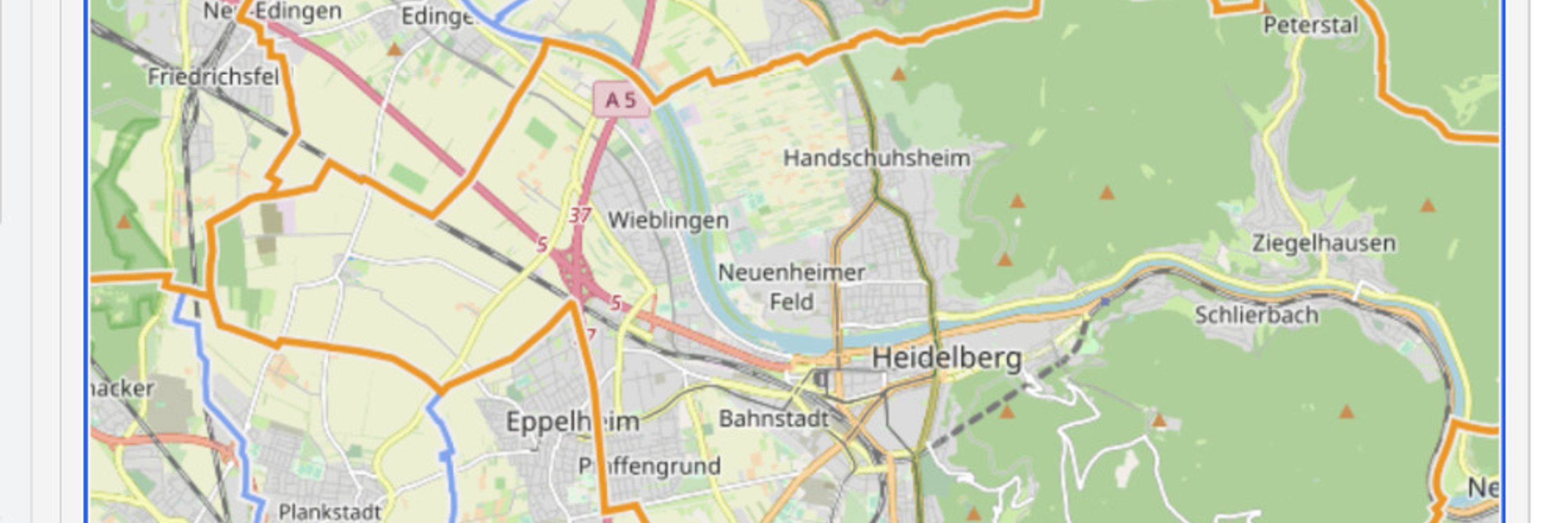
How do you analyse #OpenStreetMap data at the pace it is produced?
The latest release of ohsome-planet introduces minutely updates, delivering continuously up-to-date, GIS-ready OSM data in GeoParquet—ready for analysis with DuckDB, GeoPandas, or QGIS.
Learn more: buff.ly/abUmuPa
#opendata #GIS
The latest release of ohsome-planet introduces minutely updates, delivering continuously up-to-date, GIS-ready OSM data in GeoParquet—ready for analysis with DuckDB, GeoPandas, or QGIS.
Learn more: buff.ly/abUmuPa
#opendata #GIS
January 22, 2026 at 8:15 AM
How do you analyse #OpenStreetMap data at the pace it is produced?
The latest release of ohsome-planet introduces minutely updates, delivering continuously up-to-date, GIS-ready OSM data in GeoParquet—ready for analysis with DuckDB, GeoPandas, or QGIS.
Learn more: buff.ly/abUmuPa
#opendata #GIS
The latest release of ohsome-planet introduces minutely updates, delivering continuously up-to-date, GIS-ready OSM data in GeoParquet—ready for analysis with DuckDB, GeoPandas, or QGIS.
Learn more: buff.ly/abUmuPa
#opendata #GIS
We’ve updated the Climate Action Navigator to make data-driven local #climateaction easier 🌍
🔍 High-resolution data on walkability & bikeability, heating emissions, CO₂ budget, & land-use change
⚡ Faster vector-based maps
🌐 Interface now in English & German
📄 PDF reports
climate-action.heigit.org
🔍 High-resolution data on walkability & bikeability, heating emissions, CO₂ budget, & land-use change
⚡ Faster vector-based maps
🌐 Interface now in English & German
📄 PDF reports
climate-action.heigit.org
December 30, 2025 at 8:31 AM
We’ve updated the Climate Action Navigator to make data-driven local #climateaction easier 🌍
🔍 High-resolution data on walkability & bikeability, heating emissions, CO₂ budget, & land-use change
⚡ Faster vector-based maps
🌐 Interface now in English & German
📄 PDF reports
climate-action.heigit.org
🔍 High-resolution data on walkability & bikeability, heating emissions, CO₂ budget, & land-use change
⚡ Faster vector-based maps
🌐 Interface now in English & German
📄 PDF reports
climate-action.heigit.org