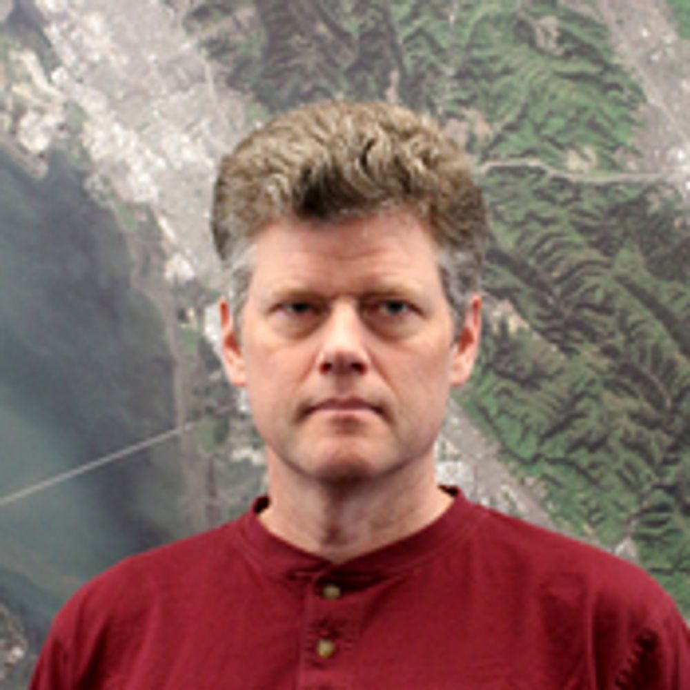
Markus Neteler
@neteler.mastodon.social.ap.brid.gy
5 followers 0 following 1 posts
geographer. remote sensing. open source GIS. oboe. co-founder of mundialis.de [bridged from https://mastodon.social/@neteler on the fediverse by https://fed.brid.gy/ ]
Posts Media Videos Starter Packs
Reposted by Markus Neteler
rstockm.chaos.social.ap.brid.gy
Ich stelle heute die Mastowall 2 vor, dazu etwas Hintergrund:

https://rstockm.github.io/mastowall/

Vor zwei Jahren wollte ich mit der #mastowall ein konkretes Problem lösen: es gab kein Pendant für die klassischen Twitter-Walls auf Mastodon. Ziel war es […]

[Original post on chaos.social]
Mastowall 2 Screenshot
Reposted by Markus Neteler
fossgisev.mastodon.online.ap.brid.gy
Auch wenn die GAV in ihrer ursprünglichen Form nicht mehr existiert, hat sie entscheidend zur Verbreitung Freier GIS-Software in Deutschland beigetragen. Ihre Initiativen und ihr Engagement haben den Grundstein für den heutigen FOSSGIS e.V. sowie die starke […]

[Original post on mastodon.online]
Bild zeigt einen Text zum Thema schon gewußt, im Rahmen der Social Media Kampagne zum  25. Jubiläum. Ein oranges Dreieck enthält das FOSSGIS-Vereinslogo sowie den Schriftzug 25. Jahre, ein weiteres Dreieck symbolisiert das OSM-Grün und das andere das OSGeo-grün.
Im Text steht: Der FOSSGIS e.V. war ursprünglich die GRASS-Anwendervereinigung e.V. (GAV)
Auch wenn die GAV in ihrer ursprünglichen Form nicht mehr existiert, hat sie entscheidend zur Verbreitung Freier GIS-Software in Deutschland beigetragen. Ihre Initiativen und ihr Engagement haben den Grundstein für die heutige FOSSGIS e.V. sowie die starke Verankerung von Open-Source-GIS-Lösungen in Deutschland gelegt. Die Impulse aus der GAV wirken bis heute weiter und haben die Landschaft der Geoinformatik nachhaltig geprägt. (Zitat aus Wiki: https://www.fossgis.de/wiki/GRASS-Anwender-Vereinigung_e.V.) sowie das damalige Logo der GAV zu sehen ist.
Reposted by Markus Neteler
fossgisev.mastodon.online.ap.brid.gy
Der @FOSSGISeV war ursprünglich die
GRASS-Anwendervereinigung e.V. (GAV) @grassgis .
Die Gründungsversammlung zur GAV fand am 15.04.2000 statt, die Eintragung als gemeinnütziger Verein erfolgte am 18.01.2001.
Im Jahr 2008 nannte sich der Verein in FOSSGIS e.V […]

[Original post on mastodon.online]
Bild zeigt einen Text zum Thema schon gewußt, im Rahmen der Social Media Kampagne zum  25. Jubiläum. Ein oranges Dreieck enthält das FOSSGIS-Vereinslogo sowie den Schriftzug 25. Jahre, ein weiteres Dreieck symbolisiert das OSM-Grün und das andere das OSGeo-grün.
Im Text steht: 
Der FOSSGIS e.V. war ursprünglich die 
GRASS-Anwendervereinigung e.V. (GAV)
Die Gründungsversammlung zur GAV fand am 15. April 2000 statt, die Eintragung als gemeinnütziger Verein ins Vereinsregister erfolgte am 18. Januar 2001.
Im Jahr 2008 nannte sich der Verein in FOSSGIS e.V. um.
In diesem Jahr feiert der FOSSGIS-Verein das 25. Jubiläum.
Ziel war es, die wachsende deutschsprachige Nutzer- 
und Entwicklergemeinschaft von GRASS GIS zu ver-
netzen und die Weiterentwicklung der Software aktiv 
zu fördern. 
Gründungsmitglieder waren Matthias Akker-
mann, Jörg Diettrich, Goerg Lösel, 
Markus Neteler, Dr. Manfred Reds-
lob, Bernhard Reiter, Rainer
Trusch & Jan-Oliver 
Wagner.
Reposted by Markus Neteler
mundialis.mastodon.social.ap.brid.gy
Herzliche Einladung zu unserem kostenlosen Webseminar „Waldmonitoring mit Sentinel-2“ am 14.10.2025 von 10-10:45 Uhr!
Weitere Infos: https://www.mundialis.de/einladung-webinar-waldmonitoring-mit-sentinel-2/
Reposted by Markus Neteler
mundialis.mastodon.social.ap.brid.gy
Satellite Image of the Month – #september#lofoten 🇳🇴

This #sentinel2 false-color image (bands 11-8A-4) shows Norway’s Lofoten Islands: snowy peaks in cyan, sparse coastal vegetation in orange, and farmland in green. A red-tinted cloud drifts at the edge […]

[Original post on mastodon.social]
False color composite satellite image of the archipelago Lofoten
Reposted by Markus Neteler
oss4geo.mastodon.social.ap.brid.gy
🗺️ Curious about where contributors of the open source geospatial tools coming from?

The FOSS4G Observatory (@OSS4gEO) maps the global distribution of contributors to open geospatial projects like @qgis, @geoserver, @grassgis, and many more.

Explore the map […]

[Original post on mastodon.social]
Geographical distribution of contributors to open source geospatial projects from FOSS4G Observatory.
Reposted by Markus Neteler
misteropendata.norden.social.ap.brid.gy
Wahnsinn: 158.867 öffentliche Organisationen veröffentlichen #opendata auf @opendata!

Leider nicht und wir haben in D ein großes Problem mit der Beschreibung von Organisationen in den Metadaten.

Hier ist die SPARQL-Abfrage mit der Zählung […]
Original post on norden.social
norden.social
Reposted by Markus Neteler
mundialis.mastodon.social.ap.brid.gy
Our Satellite Image of the Month for August offers a striking false-color view of Karachi, Pakistan. Learn more about the city and the region: https://www.mundialis.de/en/satellite-image-of-the-month-august-karachi-pakistan/
#osgeo #opensource #eo
Reposted by Markus Neteler
mundialis.mastodon.social.ap.brid.gy
We’re pleased to share that mundialis has officially endorsed the United Nations Open Source Principles. Learn more: https://www.mundialis.de/en/mundialis-un-open-source-endorsement/

#opensource #foss #opendata
www.mundialis.de
neteler.mastodon.social.ap.brid.gy
@grassgis

42 years of GRASS - Happy Birthday!

I'm so proud to be part of this amazing international community 🤩 🚀

#grass #osgeo #foss #opensource #geospatial
Reposted by Markus Neteler
grassgis.fosstodon.org.ap.brid.gy
🎂 Happy Birthday, #grass! 🎉

A toast 🥂 to the incredible science-based, open-source geospatial processing engine and to all the contributors and developers who make it possible! 🙌 🚀
Reposted by Markus Neteler
grassgis.fosstodon.org.ap.brid.gy
🌾 GRASS at FOSS4G Europe in Mostar! 🚀

This morning Alen Mangafić presented the latest news about the GRASS project! 🙌

Join us to connect with members of the community, explore open-source geospatial innovations, and share ideas. Let's make the most of this […]

[Original post on fosstodon.org]
Reposted by Markus Neteler
mundialis.mastodon.social.ap.brid.gy
Back from the 2025 ESA Living Planet Symposium in Vienna! Excited to share our top takeaways and how mundialis is contributing: https://www.mundialis.de/en/back-from-the-2025-esa-living-planet-symposium/
#lps25 #earthobservation
Reposted by Markus Neteler
grassgis.fosstodon.org.ap.brid.gy
Check out the GRASS Developer Summit lightning talks now available on YouTube! Perfect for catching up on the latest developments. 🌿📺 #grassdevsummit #lightningtalks #opensource
https://www.youtube.com/watch?v=jwMir7Rd73k&list=PLycBDiXWmuxm6UCZSWJWrBpLWJYQITIma
Reposted by Markus Neteler
mundialis.mastodon.social.ap.brid.gy
⚠️Terminänderung: Das kostenlose Webseminar „Nutzung von freien Geodaten zur Parkraumanalyse“ verschiebt sich um eine Woche auf den 17.07.2025 um 10 Uhr! Alle bisherigen Anmeldungen bleiben selbstverständlich bestehen.

Weitere Infos […]

[Original post on mastodon.social]
Einladung zum kostenlosen Webseminar. Neuer Termin: 17.07.2025. 10-11 Uhr. Anmeldung bis zum 16.07. per Email and info@mundialis.de mit Betreff: Anmeldung Parkraumanalyse Webseminar
Reposted by Markus Neteler
mundialis.mastodon.social.ap.brid.gy
Einladung zum kostenlosen Webinar: „Freie Geodaten zur Parkraumanalyse“

📅 10.07.2025 | 10–11 Uhr |
Wie Parkplätze systematisch erfasst und als Potenzialflächen bewertet werden können – mit Open-Source-Tools (GRASS GIS).

Weitere Informationen […]

[Original post on mastodon.social]
Reposted by Markus Neteler
mundialis.mastodon.social.ap.brid.gy
Gestern waren wir von mundialis bei den 26. Bonner Wirtschaftsgesprächen! Ein tolles Event unter dem Motto „Gemeinsam Zukunft gestalten“.

Als Experten für Satellitenfernerkundung tragen wir zur Innovationskraft der Region bei. Es war eine großartige […]

[Original post on mastodon.social]
Das Opernhaus Bonn, davor haben sich Menschen versammelt, um zu Netzwerken.
Reposted by Markus Neteler
mundialis.mastodon.social.ap.brid.gy
Besuch der 38. AFCEA Fachausstellung im WCCB Bonn: Spannende Gespräche zu IT-Souveränität, Open Source und Geodaten für sicherheitsrelevante Anwendungen.

Wir bei mundialis.de zeigen mit actinia, KI und Gesundheitsprojekten, wie FOSS-basierte Geoinformation […]

[Original post on mastodon.social]
Reposted by Markus Neteler
mundialis.mastodon.social.ap.brid.gy
Satellite Image of the Month – June 2025: Take a look at the stunning circular fields near Dalhart, Texas! This vibrant false-color image, captured by Sentinel 2, reveals the impact of center-pivot irrigation in one of the most productive farming regions of […]

[Original post on mastodon.social]
Reposted by Markus Neteler
grassgis.fosstodon.org.ap.brid.gy
🌾 Stay Connected with #grass!

We're excited to remind everyone that our GRASS #discourse channels are open and ready for your participation. Whether you have questions, ideas, or just want to connect, our Discourse platform is the place to be.

👉 Join the conversation and reach out to us here […]
Original post on fosstodon.org
fosstodon.org
Reposted by Markus Neteler
grassgis.fosstodon.org.ap.brid.gy
🌱 Over 30 contributors gathered at NC State for the GRASS Developer Summit 2025! We worked on hyperspectral data, Jupyter GUI integration, xarray backend, CI, conda, LLMs, and more.

Thanks to all participants and supporters—NSF, Bohannan Huston, and the Center […]

[Original post on fosstodon.org]
Reposted by Markus Neteler
grassgis.fosstodon.org.ap.brid.gy
📣 Help us improve the #grass docs!

We're updating the visuals in GRASS #documentation, and we are looking for 𝗶𝗻𝘁𝗲𝗿𝗲𝘀𝘁𝗶𝗻𝗴 𝘀𝗰𝗿𝗲𝗲𝗻𝘀𝗵𝗼𝘁𝘀 of various tools from the Graphical User Interface

🔧 Screenshots most needed:
Cartographic Composer
Raster Digitizer
Georectifier
Vector Network Analysis Tool […]
Original post on fosstodon.org
fosstodon.org
Reposted by Markus Neteler
mundialis.mastodon.social.ap.brid.gy
Wie lassen sich offene Geodaten für Umwelt- und Stadtplanung nutzen? Wir zeigen, wie Einzelbäume flächendeckend erfasst werden können – mit Open Source Ansatz und einer Live-Demo.
#opensource #opendata

https://www.mundialis.de/webinar-aufzeichnung-einzelbaumerkennung/
Reposted by Markus Neteler