


( #NOAASatellites): NOAA's #GOESEast 🛰️is keeping a close eye on the south-central #USwx this morning, where there is a #SlightRisk for #severe #thunderstorms from eastern #Texas to western #Mississippi today.
A few brief #tornadoes are possible, along with damaging #wind gusts and large #hail. #wx
A few brief #tornadoes are possible, along with damaging #wind gusts and large #hail. #wx
November 24, 2025 at 3:57 PM
( #NOAASatellites): NOAA's #GOESEast 🛰️is keeping a close eye on the south-central #USwx this morning, where there is a #SlightRisk for #severe #thunderstorms from eastern #Texas to western #Mississippi today.
A few brief #tornadoes are possible, along with damaging #wind gusts and large #hail. #wx
A few brief #tornadoes are possible, along with damaging #wind gusts and large #hail. #wx
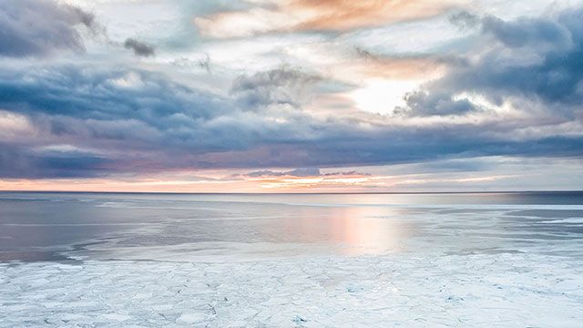
( #NOAASatellites): The LONG #PolarNight has begun in the United States' northernmost city— #Utqiaġvik, #Alaska!
Yesterday, @noaa.gov's #GOESWest ( #GOES18) 🛰️ captured the LAST #sunset of the year in Utqiaġvik. The sun will rise above the horizon again in about 64 days on January 22, 2026. #wxsky
Yesterday, @noaa.gov's #GOESWest ( #GOES18) 🛰️ captured the LAST #sunset of the year in Utqiaġvik. The sun will rise above the horizon again in about 64 days on January 22, 2026. #wxsky
November 19, 2025 at 10:23 PM
( #NOAASatellites): The LONG #PolarNight has begun in the United States' northernmost city— #Utqiaġvik, #Alaska!
Yesterday, @noaa.gov's #GOESWest ( #GOES18) 🛰️ captured the LAST #sunset of the year in Utqiaġvik. The sun will rise above the horizon again in about 64 days on January 22, 2026. #wxsky
Yesterday, @noaa.gov's #GOESWest ( #GOES18) 🛰️ captured the LAST #sunset of the year in Utqiaġvik. The sun will rise above the horizon again in about 64 days on January 22, 2026. #wxsky

A thermal signature of the #BlueOrigin #NewGlenn #NG2 booster rocket was apparent in @NOAASatellites #GOESEast ABI spectral bands 8/9/10/16 (w/ a very subtle signature in Band 4) as it launched from @NASAKennedy in Florida. A signature of the rocket condensation cloud was seen in all 16 ABI Bands.
November 13, 2025 at 10:43 PM
A thermal signature of the #BlueOrigin #NewGlenn #NG2 booster rocket was apparent in @NOAASatellites #GOESEast ABI spectral bands 8/9/10/16 (w/ a very subtle signature in Band 4) as it launched from @NASAKennedy in Florida. A signature of the rocket condensation cloud was seen in all 16 ABI Bands.

Tuesday October 7, 2025 10:00PM EDT @noaa.gov @NOAASatellites view of disturbance 1 in the southern area of the Gulf of Mexico or The Bay of Campeche. #Hurricane #J1WX #TropicsWX #Tropics #TropicalWX #BlueSkyWX #WXBlueSky #WX #NOAA #Karen
October 8, 2025 at 2:46 AM
Tuesday October 7, 2025 10:00PM EDT @noaa.gov @NOAASatellites view of disturbance 1 in the southern area of the Gulf of Mexico or The Bay of Campeche. #Hurricane #J1WX #TropicsWX #Tropics #TropicalWX #BlueSkyWX #WXBlueSky #WX #NOAA #Karen

Update to SNPP OMPS Limb Profiler Ozone EDR has been postponed by @NOAASatellites user.eumetsat.int/news-events/...

September 15, 2025 at 3:57 PM
Update to SNPP OMPS Limb Profiler Ozone EDR has been postponed by @NOAASatellites user.eumetsat.int/news-events/...
During the lunar eclipse on 07 September, the Moon briefly blocked @NOAASatellites #SUVI images of the Sun. More on the CIMSS Satellite Blog: cimss.ssec.wisc.edu/satellite-bl...
September 8, 2025 at 5:30 AM
During the lunar eclipse on 07 September, the Moon briefly blocked @NOAASatellites #SUVI images of the Sun. More on the CIMSS Satellite Blog: cimss.ssec.wisc.edu/satellite-bl...
RT by @NWSAtlanta: #hurricaneErin became the Atlantic’s first #hurricane of the season and strengthened into a Category 5 storm just one day later—one of the fastest intensifications on record. Learn how @NOAA satellites monitored and tr... https://x.com/NOAASatellites/status/1958922160149602615
August 22, 2025 at 9:01 PM
RT by @NWSAtlanta: #hurricaneErin became the Atlantic’s first #hurricane of the season and strengthened into a Category 5 storm just one day later—one of the fastest intensifications on record. Learn how @NOAA satellites monitored and tr... https://x.com/NOAASatellites/status/1958922160149602615

Aug 16: Images from @NOAA_HurrHunter and the @NOAASatellites Ocean Winds team show an intense eyewall in Hurricane #Erin This photo shows the ocean surface calm in the eye and roaring in the eyewall. For the latest forecast visit hurricanes.gov https://x.com/NHC_Atlantic/status/1956713125828325429

August 16, 2025 at 2:03 PM
Aug 16: Images from @NOAA_HurrHunter and the @NOAASatellites Ocean Winds team show an intense eyewall in Hurricane #Erin This photo shows the ocean surface calm in the eye and roaring in the eyewall. For the latest forecast visit hurricanes.gov https://x.com/NHC_Atlantic/status/1956713125828325429
Nighttime Microphysics RGB images from @NOAASatellites #GOES19/#GOESEast showed the rocket plume of the launch of @eumetsat.int #MetopSGA1 from the European Spaceport in Kourou, French Guyana.
August 13, 2025 at 1:18 AM
Nighttime Microphysics RGB images from @NOAASatellites #GOES19/#GOESEast showed the rocket plume of the launch of @eumetsat.int #MetopSGA1 from the European Spaceport in Kourou, French Guyana.
August 1, 2025 at 7:39 AM

This fall, ESIP is supporting the #NOAASatHack challenge!
🛰️@noaasatellites data warn against natural hazards to save lives and property.
The challenge: develop a public awareness campaign on a natural hazard by connecting data to neighborhood level impacts.
➡️ noaasathack2025.sched.com
#GOESR
🛰️@noaasatellites data warn against natural hazards to save lives and property.
The challenge: develop a public awareness campaign on a natural hazard by connecting data to neighborhood level impacts.
➡️ noaasathack2025.sched.com
#GOESR

NOAA Satellites Hackathon 2025
Attention #undergraduate and #gradschool college students! Apply now for the NOAA Satellites Hackathon!
@NOAASatellites data warn against natural hazards to save lives and property. Your challenge:…
www.youtube.com
July 31, 2025 at 3:18 PM
This fall, ESIP is supporting the #NOAASatHack challenge!
🛰️@noaasatellites data warn against natural hazards to save lives and property.
The challenge: develop a public awareness campaign on a natural hazard by connecting data to neighborhood level impacts.
➡️ noaasathack2025.sched.com
#GOESR
🛰️@noaasatellites data warn against natural hazards to save lives and property.
The challenge: develop a public awareness campaign on a natural hazard by connecting data to neighborhood level impacts.
➡️ noaasathack2025.sched.com
#GOESR
United States Space Force & @NOAASatellites have announced that they will no longer terminate the provision of DMSP SSMIS data on 31 July. Instead, they will continue to provide the data on a best effort basis user.eumetsat.int/news-events/...
July 30, 2025 at 3:21 PM
United States Space Force & @NOAASatellites have announced that they will no longer terminate the provision of DMSP SSMIS data on 31 July. Instead, they will continue to provide the data on a best effort basis user.eumetsat.int/news-events/...
Access to @NOAASatellites DMSP SSMIS sea ice & precipitation data is coming to an end on 31 July user.eumetsat.int/news-events/... Note this is a change to the previous date of 30 June.
July 14, 2025 at 12:24 PM
Access to @NOAASatellites DMSP SSMIS sea ice & precipitation data is coming to an end on 31 July user.eumetsat.int/news-events/... Note this is a change to the previous date of 30 June.
RT by @NWSAtlanta: NOAA’s Center for Satellite Applications and Research (STAR) at NESDIS plays an important role in hurricane preparedness. STAR’s satellite data products and services provide accurate and timely information that support... https://x.com/NOAASatellites/status/1940806771183898763

July 4, 2025 at 12:09 AM
RT by @NWSAtlanta: NOAA’s Center for Satellite Applications and Research (STAR) at NESDIS plays an important role in hurricane preparedness. STAR’s satellite data products and services provide accurate and timely information that support... https://x.com/NOAASatellites/status/1940806771183898763
1-minute @NOAASatellites #GOES18/#GOESWest and #GOES19/#GOESEast True Color RGB images revealed that the SpaceX Falcon-9 rocket booster condensation plume quickly dissipated just off the Florida coast, due to the combination of dry air and wind shear at high altitudes.
July 1, 2025 at 10:08 PM
1-minute @NOAASatellites #GOES18/#GOESWest and #GOES19/#GOESEast True Color RGB images revealed that the SpaceX Falcon-9 rocket booster condensation plume quickly dissipated just off the Florida coast, due to the combination of dry air and wind shear at high altitudes.
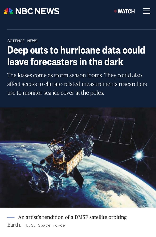
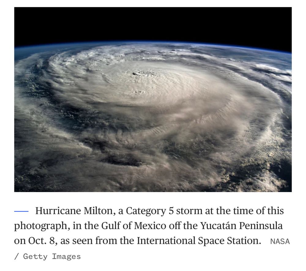
Thanks to NBC for interviewing on the important satellite data from @DeptofDefense and @NOAASatellites @NOAA @NWS @NOAAResearch. The @JPSSProgram aids in hurricane forecasting and high impact weather analysis to ensure public safety. www.nbcnews.com/news/amp/rcn...
#weather #technology
#weather #technology
June 30, 2025 at 12:01 AM
Thanks to NBC for interviewing on the important satellite data from @DeptofDefense and @NOAASatellites @NOAA @NWS @NOAAResearch. The @JPSSProgram aids in hurricane forecasting and high impact weather analysis to ensure public safety. www.nbcnews.com/news/amp/rcn...
#weather #technology
#weather #technology
( #NOAASatellites): As the nation's RECORD-BREAKING June #HeatWAVE starts to wane, #NOAA #satellites show just how hot it got! #USwx #wx #wxsky
Learn more about how NOAA's #JPSSprogram satellites helped predict this spell of toasty #temperatures in our latest #SatelliteSnapshot: bit.ly/4kiCDxU
Learn more about how NOAA's #JPSSprogram satellites helped predict this spell of toasty #temperatures in our latest #SatelliteSnapshot: bit.ly/4kiCDxU
June 27, 2025 at 8:07 PM
( #NOAASatellites): As the nation's RECORD-BREAKING June #HeatWAVE starts to wane, #NOAA #satellites show just how hot it got! #USwx #wx #wxsky
Learn more about how NOAA's #JPSSprogram satellites helped predict this spell of toasty #temperatures in our latest #SatelliteSnapshot: bit.ly/4kiCDxU
Learn more about how NOAA's #JPSSprogram satellites helped predict this spell of toasty #temperatures in our latest #SatelliteSnapshot: bit.ly/4kiCDxU

NOAA-15, 0731 UTC Overpass: Note, we are unable to create our normal false colour composite due to missing AVHRR Channel 4 data as no info has been released by @NOAA or @NOAASatellites as to the sensor or satellite's operational condition. We have enhanced this partial composite.

June 26, 2025 at 8:05 AM
NOAA-15, 0731 UTC Overpass: Note, we are unable to create our normal false colour composite due to missing AVHRR Channel 4 data as no info has been released by @NOAA or @NOAASatellites as to the sensor or satellite's operational condition. We have enhanced this partial composite.
RT by @NWSAtlanta: Today is not just #FullDiskFriday, but also the official start of astronomical #summer here in the Northern Hemisphere! 🌎 This animation uses imagery from @NOAA's #GOESEast 🛰️ to show the changing seasons over the ... https://x.com/NOAASatellites/status/1936140001609236760
June 20, 2025 at 7:39 PM
RT by @NWSAtlanta: Today is not just #FullDiskFriday, but also the official start of astronomical #summer here in the Northern Hemisphere! 🌎 This animation uses imagery from @NOAA's #GOESEast 🛰️ to show the changing seasons over the ... https://x.com/NOAASatellites/status/1936140001609236760

RT @NOAASatellites: For scientists studying summer sea ice in the Arctic, it's not a question of "if" there will be nearly ice-free... http…
Tweeted at 2013-04-23 23:04:25 UTC
Tweeted at 2013-04-23 23:04:25 UTC
June 19, 2025 at 10:40 PM
RT @NOAASatellites: For scientists studying summer sea ice in the Arctic, it's not a question of "if" there will be nearly ice-free... http…
Tweeted at 2013-04-23 23:04:25 UTC
Tweeted at 2013-04-23 23:04:25 UTC
Tromso and Murmansk are on the left of the images above, for orientation purposes, captured with our Oscar antenna. Thanks #NOAA and #NOAASatellites, we carry on.
June 6, 2025 at 9:27 PM
Tromso and Murmansk are on the left of the images above, for orientation purposes, captured with our Oscar antenna. Thanks #NOAA and #NOAASatellites, we carry on.
NOAA-18, 1245 UTC Overpass: Sayonara NOAA-18, thanks for the service. This maybe our last collection from this redoubtable satellite. A salute to #NOAA and #NOAASatellites. Repost this followers and give shout to these folks.

June 6, 2025 at 1:15 PM
NOAA-18, 1245 UTC Overpass: Sayonara NOAA-18, thanks for the service. This maybe our last collection from this redoubtable satellite. A salute to #NOAA and #NOAASatellites. Repost this followers and give shout to these folks.

The 2025 Atlantic Hurricane season is now underway!
This year could be another busy one with forecasters predicting an above-average season.
Here's all you need to know in my @SPACEdotcom story --
📹: @NOAASatellites & @CIRA_CSU - https://x.com/GarofaloWX/status/1930225096888619157
This year could be another busy one with forecasters predicting an above-average season.
Here's all you need to know in my @SPACEdotcom story --
📹: @NOAASatellites & @CIRA_CSU - https://x.com/GarofaloWX/status/1930225096888619157
June 4, 2025 at 12:10 PM
The 2025 Atlantic Hurricane season is now underway!
This year could be another busy one with forecasters predicting an above-average season.
Here's all you need to know in my @SPACEdotcom story --
📹: @NOAASatellites & @CIRA_CSU - https://x.com/GarofaloWX/status/1930225096888619157
This year could be another busy one with forecasters predicting an above-average season.
Here's all you need to know in my @SPACEdotcom story --
📹: @NOAASatellites & @CIRA_CSU - https://x.com/GarofaloWX/status/1930225096888619157
A wildfire in northeastern British Columbia produced a series of ~3 #pyrocumulonimbus clouds late in the day on 28 May, as seen in @NOAASatellites #GOES18/#GOESWest images -- more details on the CIMSS Satellite Blog: cimss.ssec.wisc.edu/satellite-bl... H/T @mnstorm.bsky.social
May 29, 2025 at 6:22 PM
A wildfire in northeastern British Columbia produced a series of ~3 #pyrocumulonimbus clouds late in the day on 28 May, as seen in @NOAASatellites #GOES18/#GOESWest images -- more details on the CIMSS Satellite Blog: cimss.ssec.wisc.edu/satellite-bl... H/T @mnstorm.bsky.social