


Johann Huntera
@chattwjonathan.bsky.social
Meteorologist & car safety systems. husband, father, Chattahooligan. He/him
Retweets are only endorsements if weather. You can like bad weather posts, it doesn't make you a bad person
Retweets are only endorsements if weather. You can like bad weather posts, it doesn't make you a bad person
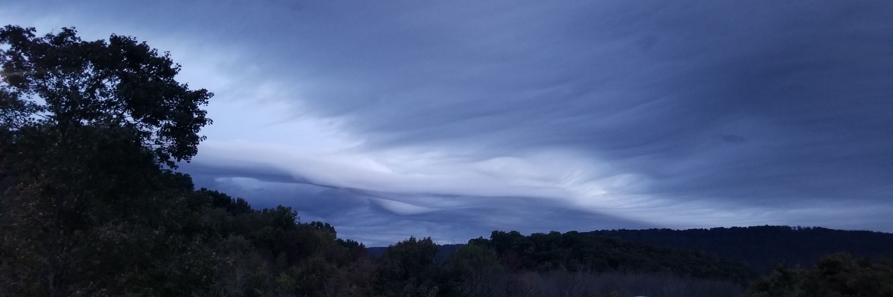
No need for a shovel. Get a broom and save your back

January 31, 2026 at 4:28 PM
No need for a shovel. Get a broom and save your back
Looks like between a quarter and a half of snow in my past of Hixson

January 31, 2026 at 12:52 PM
Looks like between a quarter and a half of snow in my past of Hixson
Hamilton County and Sequatchie County have now been added to the Winter Weather advisory between 1am and 7pm Saturday. This includes Chattanooga.
Dusting to 1 in with wind gusts up to 35mph. Watch for slippery road conditions.
#TNwx
Dusting to 1 in with wind gusts up to 35mph. Watch for slippery road conditions.
#TNwx

January 30, 2026 at 7:57 PM
Hamilton County and Sequatchie County have now been added to the Winter Weather advisory between 1am and 7pm Saturday. This includes Chattanooga.
Dusting to 1 in with wind gusts up to 35mph. Watch for slippery road conditions.
#TNwx
Dusting to 1 in with wind gusts up to 35mph. Watch for slippery road conditions.
#TNwx

Atlanta got upgraded to a Winter Storm Warning (noting the strong wind gusts). I think Chattanooga is going to get upgraded to a winter weather advisory - if mostly for the NE part of the county being more likely to see snow.

January 30, 2026 at 5:08 PM
Atlanta got upgraded to a Winter Storm Warning (noting the strong wind gusts). I think Chattanooga is going to get upgraded to a winter weather advisory - if mostly for the NE part of the county being more likely to see snow.
These HRRRs keep giving Chattanooga just a little more snow. GFS is consistent with a dusting here.
Both of those agree pretty heavily on NE TN snow coming in high.
Both have lower piedmont Carolinas snow totals than ECMWF/GFS guidance.
Curious how the 12z ECMWF looks.
#TNwx #NCwx #SCwx
Both of those agree pretty heavily on NE TN snow coming in high.
Both have lower piedmont Carolinas snow totals than ECMWF/GFS guidance.
Curious how the 12z ECMWF looks.
#TNwx #NCwx #SCwx

January 30, 2026 at 5:06 PM
I still lean towards noting to a dusting for Chattanooga.
ECMWF has given us a little snow in the forecast now, but at least as of this afternoon it was the only one.
Although be aware that anything that falls will stick, which is my biggest watch out. Between 2am and 8am.
#tnwx
ECMWF has given us a little snow in the forecast now, but at least as of this afternoon it was the only one.
Although be aware that anything that falls will stick, which is my biggest watch out. Between 2am and 8am.
#tnwx

January 30, 2026 at 2:22 AM
I still lean towards noting to a dusting for Chattanooga.
ECMWF has given us a little snow in the forecast now, but at least as of this afternoon it was the only one.
Although be aware that anything that falls will stick, which is my biggest watch out. Between 2am and 8am.
#tnwx
ECMWF has given us a little snow in the forecast now, but at least as of this afternoon it was the only one.
Although be aware that anything that falls will stick, which is my biggest watch out. Between 2am and 8am.
#tnwx
The crows are out on the ice in the shallow marshland grass, looking for food. Not usually a place they can check, but in this weather, it's possible. Smart bird

January 29, 2026 at 6:50 PM
The crows are out on the ice in the shallow marshland grass, looking for food. Not usually a place they can check, but in this weather, it's possible. Smart bird
Oh my god, dispatch....stop sending trucks through northern Mississippi!
Here's I-22 is morning....after you get past the part that's a complete parking lot.
Here's I-22 is morning....after you get past the part that's a complete parking lot.

January 29, 2026 at 2:24 PM
Oh my god, dispatch....stop sending trucks through northern Mississippi!
Here's I-22 is morning....after you get past the part that's a complete parking lot.
Here's I-22 is morning....after you get past the part that's a complete parking lot.

In other news from Chattanooga - Dog rescued from cliff. Full description in Alt Text.

January 26, 2026 at 3:55 AM
In other news from Chattanooga - Dog rescued from cliff. Full description in Alt Text.
Christ...in a Chattanooga Reddit post showing ice in the trees, with some down, and plenty of branches.
wtf is wrong with people
wtf is wrong with people

January 25, 2026 at 3:24 PM
Christ...in a Chattanooga Reddit post showing ice in the trees, with some down, and plenty of branches.
wtf is wrong with people
wtf is wrong with people
Up to 5200 without power now. Must still be all ice on the mountains. Looks like Sequatchie county added quite a few outages on the back side of Signal.
Winds are reportedly picking up around town.
Winds are reportedly picking up around town.

January 25, 2026 at 1:39 PM
Up to 5200 without power now. Must still be all ice on the mountains. Looks like Sequatchie county added quite a few outages on the back side of Signal.
Winds are reportedly picking up around town.
Winds are reportedly picking up around town.
3300 customers without power in the EPB service area. Mostly on the mountains.

January 25, 2026 at 12:31 PM
3300 customers without power in the EPB service area. Mostly on the mountains.
Beautiful graph showing RH, Temp, Dew Pt from the local mesonet.
Precip starts and RH spikes, and temp drops because of evaporative cooling. Moisture content goes up slowly and then temps rise very slowly with more relatively warm precip falling.
Precip starts and RH spikes, and temp drops because of evaporative cooling. Moisture content goes up slowly and then temps rise very slowly with more relatively warm precip falling.

January 25, 2026 at 3:07 AM
Beautiful graph showing RH, Temp, Dew Pt from the local mesonet.
Precip starts and RH spikes, and temp drops because of evaporative cooling. Moisture content goes up slowly and then temps rise very slowly with more relatively warm precip falling.
Precip starts and RH spikes, and temp drops because of evaporative cooling. Moisture content goes up slowly and then temps rise very slowly with more relatively warm precip falling.
Another crude illustration. The cold air has filled in the bowl. The return flow is trying to push northwest but has to clear the bowl to not create more ZR.
That's a mixing process need. Typically turbulence or precipitation
That's a mixing process need. Typically turbulence or precipitation

January 24, 2026 at 7:03 PM
Another crude illustration. The cold air has filled in the bowl. The return flow is trying to push northwest but has to clear the bowl to not create more ZR.
That's a mixing process need. Typically turbulence or precipitation
That's a mixing process need. Typically turbulence or precipitation

January 24, 2026 at 6:20 PM


Spc MD this morning
Warm nose from 900mb to 700mb and low level jet enhancement on this morning's winter precipitation.
www.spc.noaa.gov/products/md/...
Warm nose from 900mb to 700mb and low level jet enhancement on this morning's winter precipitation.
www.spc.noaa.gov/products/md/...

January 24, 2026 at 12:15 PM
Spc MD this morning
Warm nose from 900mb to 700mb and low level jet enhancement on this morning's winter precipitation.
www.spc.noaa.gov/products/md/...
Warm nose from 900mb to 700mb and low level jet enhancement on this morning's winter precipitation.
www.spc.noaa.gov/products/md/...

QPF baby!
Here's a storm aspect I haven't looked at enough: QPF.
Chattanooga is expecting 2.5in of precip equivalent: Whew...I knew it was a lot but that's sooo much water especially for temps to drop into the teens Sunday night.
#TNwx
Here's a storm aspect I haven't looked at enough: QPF.
Chattanooga is expecting 2.5in of precip equivalent: Whew...I knew it was a lot but that's sooo much water especially for temps to drop into the teens Sunday night.
#TNwx

January 23, 2026 at 4:59 PM
QPF baby!
Here's a storm aspect I haven't looked at enough: QPF.
Chattanooga is expecting 2.5in of precip equivalent: Whew...I knew it was a lot but that's sooo much water especially for temps to drop into the teens Sunday night.
#TNwx
Here's a storm aspect I haven't looked at enough: QPF.
Chattanooga is expecting 2.5in of precip equivalent: Whew...I knew it was a lot but that's sooo much water especially for temps to drop into the teens Sunday night.
#TNwx
Timeline for Chattanooga Proper:
Sat Morn: a little wintry precip may be seen
Sat Aft: start of precip - comes in light
Sat Eve to Sun Morn: real start arrives and impacts will be felt heavily if its ice.
Sun into Eve: heavy rain. Immediate impacts ease
Sun night: Temps drop fast. Refreeze
Sat Morn: a little wintry precip may be seen
Sat Aft: start of precip - comes in light
Sat Eve to Sun Morn: real start arrives and impacts will be felt heavily if its ice.
Sun into Eve: heavy rain. Immediate impacts ease
Sun night: Temps drop fast. Refreeze

January 23, 2026 at 3:22 PM
Timeline for Chattanooga Proper:
Sat Morn: a little wintry precip may be seen
Sat Aft: start of precip - comes in light
Sat Eve to Sun Morn: real start arrives and impacts will be felt heavily if its ice.
Sun into Eve: heavy rain. Immediate impacts ease
Sun night: Temps drop fast. Refreeze
Sat Morn: a little wintry precip may be seen
Sat Aft: start of precip - comes in light
Sat Eve to Sun Morn: real start arrives and impacts will be felt heavily if its ice.
Sun into Eve: heavy rain. Immediate impacts ease
Sun night: Temps drop fast. Refreeze
Chattanooga Weather Updates and Timeline:
Ice Storm Warning in effect from 1pm Sat through Sun
The cutoff between rain and freezing rain is close enough that you need to prepare for heavy ice Sat night.
Freezing rain is expected to change over to all rain - most likely Sunday morning.
Ice Storm Warning in effect from 1pm Sat through Sun
The cutoff between rain and freezing rain is close enough that you need to prepare for heavy ice Sat night.
Freezing rain is expected to change over to all rain - most likely Sunday morning.

January 23, 2026 at 3:19 PM
Chattanooga Weather Updates and Timeline:
Ice Storm Warning in effect from 1pm Sat through Sun
The cutoff between rain and freezing rain is close enough that you need to prepare for heavy ice Sat night.
Freezing rain is expected to change over to all rain - most likely Sunday morning.
Ice Storm Warning in effect from 1pm Sat through Sun
The cutoff between rain and freezing rain is close enough that you need to prepare for heavy ice Sat night.
Freezing rain is expected to change over to all rain - most likely Sunday morning.
Nearing final preparations for ice storm

January 23, 2026 at 3:39 AM
Nearing final preparations for ice storm
Chattanooga Weather Updates:
Start timing: later morning or noon
As light sleet or freezing rain
Increased impact: Sat Early evening
As freezing rain, with rain line just south
Changeover to rain is now expected overnight or early Sunday for East Tennessee for much of Sunday.
#TNwx #CHAwx
Start timing: later morning or noon
As light sleet or freezing rain
Increased impact: Sat Early evening
As freezing rain, with rain line just south
Changeover to rain is now expected overnight or early Sunday for East Tennessee for much of Sunday.
#TNwx #CHAwx

January 22, 2026 at 3:14 PM