


Eric Ness
@eric.ness.net
Dad, husband, programmer, popcorn enthusiast.
Computer Science PhD candidate @AngliaRuskin (Machine Learning, Remote Sensing, Env. Data). Day job: prog. tools to analyze environmental data. Website: https://eric.ness.net/ Posting stuff l am looking at.
Computer Science PhD candidate @AngliaRuskin (Machine Learning, Remote Sensing, Env. Data). Day job: prog. tools to analyze environmental data. Website: https://eric.ness.net/ Posting stuff l am looking at.
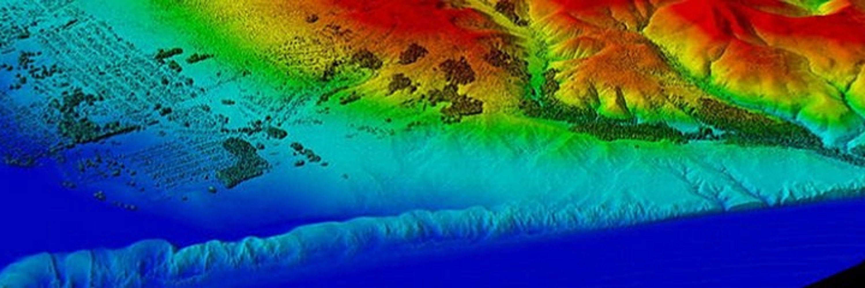
Tired of firing up QGIS just to peek at a raster?
viewtif lets you:
• View single-band + RGB GeoTIFFs
• Overlay shapefiles
• Browse NetCDF time steps
• Open HDF/HDF5 + FileGDB rasters
All from the command line.
#GeoSpatial #Python - github.com/nkeikon/tifv...
viewtif lets you:
• View single-band + RGB GeoTIFFs
• Overlay shapefiles
• Browse NetCDF time steps
• Open HDF/HDF5 + FileGDB rasters
All from the command line.
#GeoSpatial #Python - github.com/nkeikon/tifv...
December 3, 2025 at 12:35 AM
Tired of firing up QGIS just to peek at a raster?
viewtif lets you:
• View single-band + RGB GeoTIFFs
• Overlay shapefiles
• Browse NetCDF time steps
• Open HDF/HDF5 + FileGDB rasters
All from the command line.
#GeoSpatial #Python - github.com/nkeikon/tifv...
viewtif lets you:
• View single-band + RGB GeoTIFFs
• Overlay shapefiles
• Browse NetCDF time steps
• Open HDF/HDF5 + FileGDB rasters
All from the command line.
#GeoSpatial #Python - github.com/nkeikon/tifv...
Check out creative ways to export your maps from QGIS to Illustrator — then bring them to life with animations in Premiere!
#QGIS #Illustrator #PremierePro #MapDesign - www.chiaraphillips.com/post/make-th...
#QGIS #Illustrator #PremierePro #MapDesign - www.chiaraphillips.com/post/make-th...
May 11, 2025 at 12:15 PM
Check out creative ways to export your maps from QGIS to Illustrator — then bring them to life with animations in Premiere!
#QGIS #Illustrator #PremierePro #MapDesign - www.chiaraphillips.com/post/make-th...
#QGIS #Illustrator #PremierePro #MapDesign - www.chiaraphillips.com/post/make-th...
Introducing the Earth Observation Training Data Lab (EOTDL) by ESA! Learn how to create your own EO training datasets with EOTDL tutorials. Dive into STAC metadata, dataset ingestion, and model building. #RemoteSensing #OpenData #EO #MachineLearning www.eotdl.com
April 10, 2025 at 4:04 PM
Introducing the Earth Observation Training Data Lab (EOTDL) by ESA! Learn how to create your own EO training datasets with EOTDL tutorials. Dive into STAC metadata, dataset ingestion, and model building. #RemoteSensing #OpenData #EO #MachineLearning www.eotdl.com
2025 Antarctic sea ice stats are in:
• 7th lowest extent on record
• Volume down 56% from the long-term average
• 2nd year in a row below 2M km²
The melt is not uniform, but the trend is clear. #ClimateChange #Antarctica - marine.copernicus.eu/news/antarct...
• 7th lowest extent on record
• Volume down 56% from the long-term average
• 2nd year in a row below 2M km²
The melt is not uniform, but the trend is clear. #ClimateChange #Antarctica - marine.copernicus.eu/news/antarct...
April 1, 2025 at 2:14 PM
2025 Antarctic sea ice stats are in:
• 7th lowest extent on record
• Volume down 56% from the long-term average
• 2nd year in a row below 2M km²
The melt is not uniform, but the trend is clear. #ClimateChange #Antarctica - marine.copernicus.eu/news/antarct...
• 7th lowest extent on record
• Volume down 56% from the long-term average
• 2nd year in a row below 2M km²
The melt is not uniform, but the trend is clear. #ClimateChange #Antarctica - marine.copernicus.eu/news/antarct...