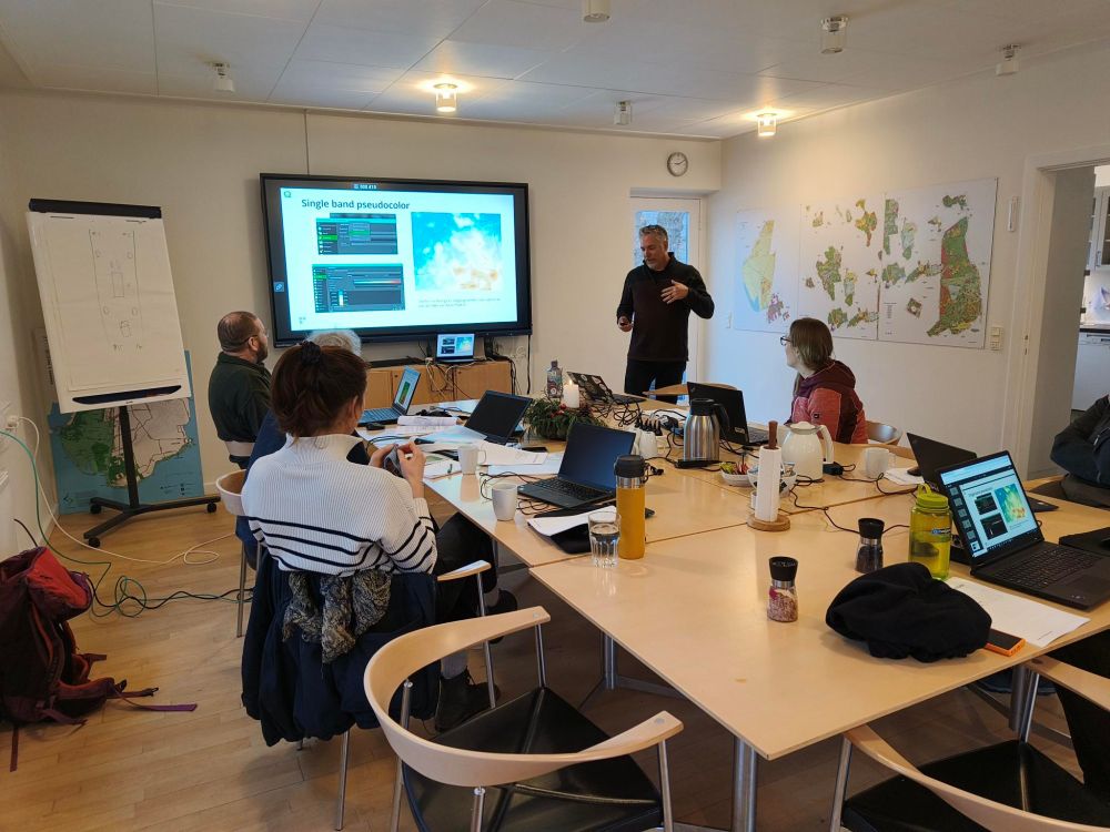
#gischat #osgeo #qgis #opensource
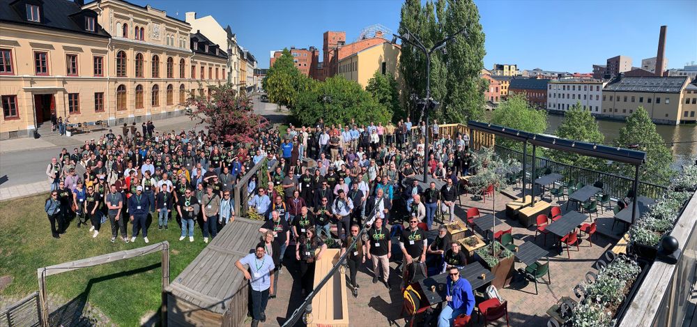
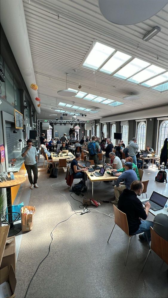
#gischat #osgeo #qgis #opensource
This will allow beavers to serve their role as a keystone species and ecosystem engineers
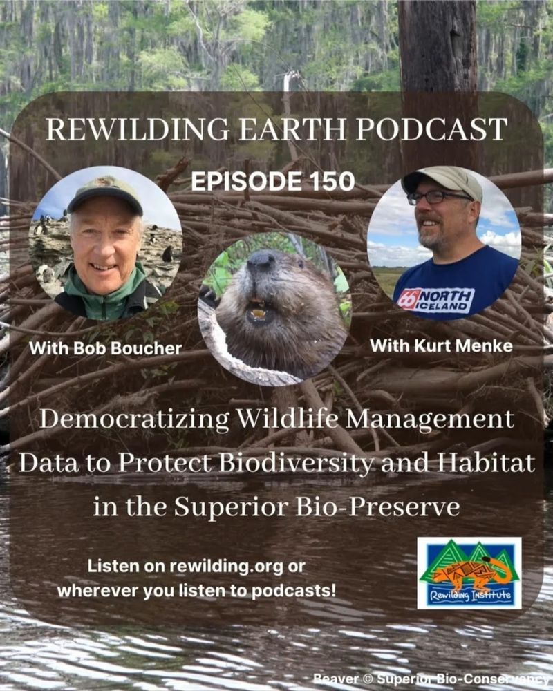
This will allow beavers to serve their role as a keystone species and ecosystem engineers

Somehow, things feel much more real if you can touch them.
Fun fact: the cover was designed in #qgis. Speaking of going full circle ...
#gischat #python #Geopandas
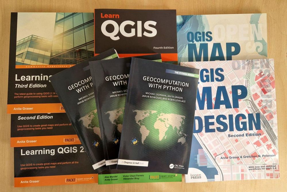
Somehow, things feel much more real if you can touch them.
Fun fact: the cover was designed in #qgis. Speaking of going full circle ...
#gischat #python #Geopandas
https://anaconda.org/conda-forge/qgis
My favorite way to install #qgis
#conda #gischat #python #opensource
https://anaconda.org/conda-forge/qgis
My favorite way to install #qgis
#conda #gischat #python #opensource
If you use QGIS, please consider also becoming a sustaining member: qgis.org/funding/memb...

If you use QGIS, please consider also becoming a sustaining member: qgis.org/funding/memb...
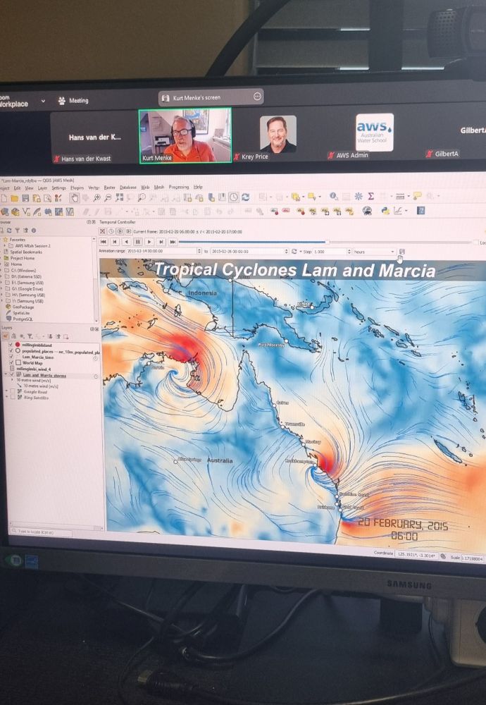
awschool.com.au/training/mas... #QGIS #GIS #mesh
awschool.com.au/training/mas... #QGIS #GIS #mesh
Check it out for a bit of a glimpse at the vibe for #foss4g2025 in Auckland!
www.youtube.com/playlist?lis...

Check it out for a bit of a glimpse at the vibe for #foss4g2025 in Auckland!
www.youtube.com/playlist?lis...
I wrote this to support teaching GIS w/ QGIS. If you plan on teaching #QGIS at your school, consider using it.
It contains 32 lab exercises w/ solution files & challenge assignments to support learning.
locatepress.com/book/dq32

I wrote this to support teaching GIS w/ QGIS. If you plan on teaching #QGIS at your school, consider using it.
It contains 32 lab exercises w/ solution files & challenge assignments to support learning.
locatepress.com/book/dq32

https://www.digitalpublicgoods.net/r/qgis
#qgis #gischat #osgeo #opensource #gis
https://www.digitalpublicgoods.net/r/qgis
#qgis #gischat #osgeo #opensource #gis
www.youtube.com/watch?v=yMjZ...

www.youtube.com/watch?v=yMjZ...

I just played with Pretty Maps to make a quick fall themed map of old Tallinn, Estonia

I just played with Pretty Maps to make a quick fall themed map of old Tallinn, Estonia
A temporal animation of the circumpolar migration of Arctic Terns. They have the longest migration, seeing 2 summers each year, as they migrate along a route from northern breeding grounds in the Arctic, to the Antarctic coast for the southern summer & back.
A temporal animation of the circumpolar migration of Arctic Terns. They have the longest migration, seeing 2 summers each year, as they migrate along a route from northern breeding grounds in the Arctic, to the Antarctic coast for the southern summer & back.
An animation of storm induced flooding in Copenhagen from a scenario modeling potential conditions from a 1,000 year storm coming from the south in 2075. Made with #QGIS and #ffmpeg
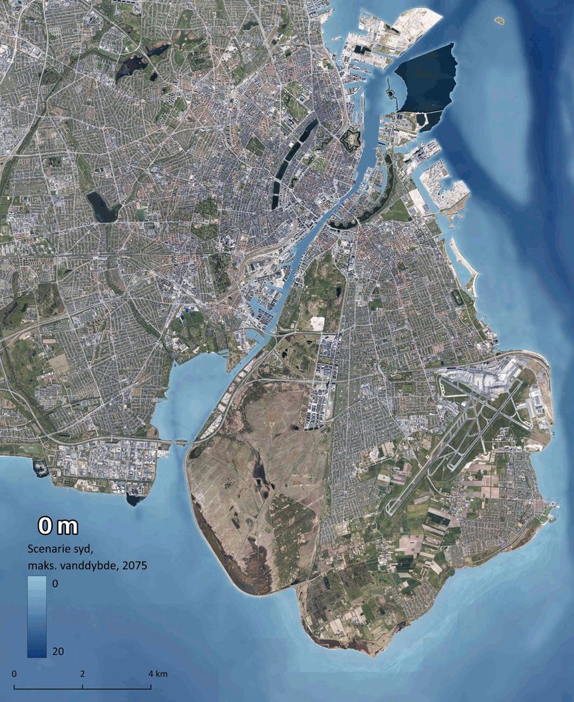
An animation of storm induced flooding in Copenhagen from a scenario modeling potential conditions from a 1,000 year storm coming from the south in 2075. Made with #QGIS and #ffmpeg

UFO sightings in Denmark. There have not been many! Data from: www.kaggle.com/datasets/NUF...
#QGIS

UFO sightings in Denmark. There have not been many! Data from: www.kaggle.com/datasets/NUF...
#QGIS
This is an analysis for the Superior Bio-Conservancy with the goal of modeling biodiversity connectivity in the North Woods. I used Omniscape.jl to model wall-2-wall structural connectivity across the study area w/ emphasis on riparian corridors & biodiversity
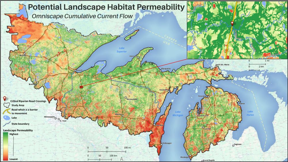
This is an analysis for the Superior Bio-Conservancy with the goal of modeling biodiversity connectivity in the North Woods. I used Omniscape.jl to model wall-2-wall structural connectivity across the study area w/ emphasis on riparian corridors & biodiversity
Here is an animation of my 500 mi / 800 km hike across Oregon in 1994. 38 days sleeping in a tent - swam in 36 lakes - climbed 7 peaks - one of the best outdoor adventures I've had! Made via the QGIS Atlas.
#QGIS #PCT #Oregon

Here is an animation of my 500 mi / 800 km hike across Oregon in 1994. 38 days sleeping in a tent - swam in 36 lakes - climbed 7 peaks - one of the best outdoor adventures I've had! Made via the QGIS Atlas.
#QGIS #PCT #Oregon
Archaeological site density in Denmark by hexagon within a hexagon 😉 .
#QGIS #archaeology #hexagon

Archaeological site density in Denmark by hexagon within a hexagon 😉 .
#QGIS #archaeology #hexagon


