


Kelly Butt
@kellybutt.bsky.social
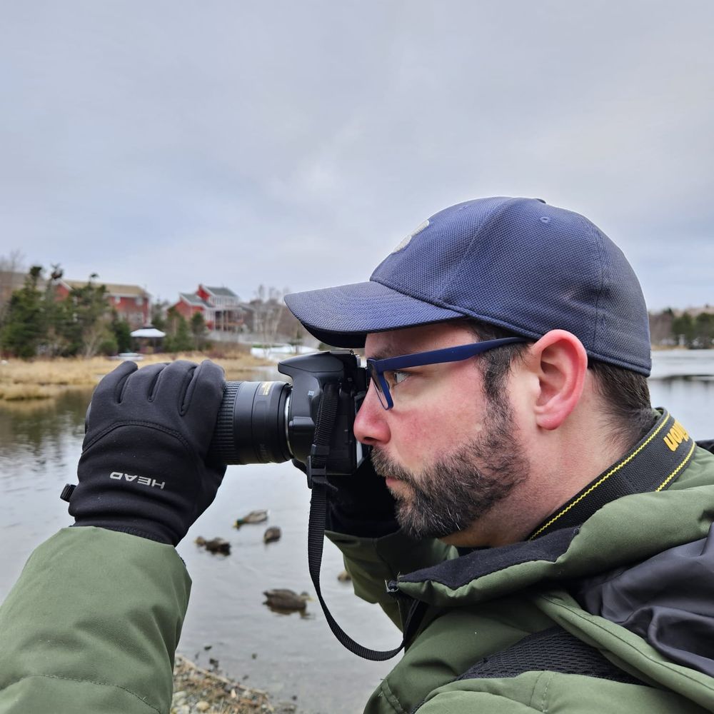
Severe weather watcher for Environment & Climate Change Canada | Following #NLwx from St. John's, NL | Picture taker | Bird watcher.
https://capebretonweather.ca/station.html#id=001D0A7122F2
https://kellybutt.artfunnels.com/
https://capebretonweather.ca/station.html#id=001D0A7122F2
https://kellybutt.artfunnels.com/
Make winter weather stats great again.
December 6, 2025 at 3:11 PM
Make winter weather stats great again.
4. Winds will ramp up tomorrow into tomorrow night.
Strongest gusts for the south coast, Burin Pen & southern Avalon. Gusts will be 110-130 km/h.
Eastern Nfld, N. Avalon incl Metro: 100-120 km/h.
Western/SW Nfld: 100-110 km/h.
#NLwx
Strongest gusts for the south coast, Burin Pen & southern Avalon. Gusts will be 110-130 km/h.
Eastern Nfld, N. Avalon incl Metro: 100-120 km/h.
Western/SW Nfld: 100-110 km/h.
#NLwx


December 5, 2025 at 12:03 AM
4. Winds will ramp up tomorrow into tomorrow night.
Strongest gusts for the south coast, Burin Pen & southern Avalon. Gusts will be 110-130 km/h.
Eastern Nfld, N. Avalon incl Metro: 100-120 km/h.
Western/SW Nfld: 100-110 km/h.
#NLwx
Strongest gusts for the south coast, Burin Pen & southern Avalon. Gusts will be 110-130 km/h.
Eastern Nfld, N. Avalon incl Metro: 100-120 km/h.
Western/SW Nfld: 100-110 km/h.
#NLwx
3. Temperatures plummet for the island Friday AM, particularly noticeable for central & east.
Highs near or a few degrees above 0° in the morning, will sharply fall to -10° to -7°. Wind chills will be in the minus teens or near -20.
#nlwx
Highs near or a few degrees above 0° in the morning, will sharply fall to -10° to -7°. Wind chills will be in the minus teens or near -20.
#nlwx
December 5, 2025 at 12:02 AM
3. Temperatures plummet for the island Friday AM, particularly noticeable for central & east.
Highs near or a few degrees above 0° in the morning, will sharply fall to -10° to -7°. Wind chills will be in the minus teens or near -20.
#nlwx
Highs near or a few degrees above 0° in the morning, will sharply fall to -10° to -7°. Wind chills will be in the minus teens or near -20.
#nlwx
2. RDPS snowfall estimates tonight into tomorrow night (incl squalls for western Nfld)
SE Lab/northern GNP: 15-30cm+
Western: 15-30cm+, more in higher terrain.
NE Nfld, NE coast, Bay of Exploits: 10-20, except 30cm psbl in heavy bands.
Central: 5-15cm
Eastern: 2-5cm
#NLwx
SE Lab/northern GNP: 15-30cm+
Western: 15-30cm+, more in higher terrain.
NE Nfld, NE coast, Bay of Exploits: 10-20, except 30cm psbl in heavy bands.
Central: 5-15cm
Eastern: 2-5cm
#NLwx

December 5, 2025 at 12:01 AM
2. RDPS snowfall estimates tonight into tomorrow night (incl squalls for western Nfld)
SE Lab/northern GNP: 15-30cm+
Western: 15-30cm+, more in higher terrain.
NE Nfld, NE coast, Bay of Exploits: 10-20, except 30cm psbl in heavy bands.
Central: 5-15cm
Eastern: 2-5cm
#NLwx
SE Lab/northern GNP: 15-30cm+
Western: 15-30cm+, more in higher terrain.
NE Nfld, NE coast, Bay of Exploits: 10-20, except 30cm psbl in heavy bands.
Central: 5-15cm
Eastern: 2-5cm
#NLwx
December 4, 2025 at 11:59 PM
2. RDPS snowfall estimates tonight into tomorrow night (incl squalls for western Nfld)
SE Lab/northern GNP: 15-30cm+
Western: 15-30cm+, more in higher terrain.
NE Nfld, NE coast, Bay of Exploits: 10-20, except 30cm psbl in heavy bands.
Central: 5-15cm
Eastern: 2-5cm
#NLwx
SE Lab/northern GNP: 15-30cm+
Western: 15-30cm+, more in higher terrain.
NE Nfld, NE coast, Bay of Exploits: 10-20, except 30cm psbl in heavy bands.
Central: 5-15cm
Eastern: 2-5cm
#NLwx
4. Wind gusts will ramp up on Wednesday.
Northeast & south coasts: NE 80-100 km/h.
Avalon, Burin, east coast: E 60-80, becoming N 80-100 km/h.
Central & western Nfld: NE 50-80 km/h.
Combined with snow, this will cause reduced visibility for many areas.
#NLwx
Northeast & south coasts: NE 80-100 km/h.
Avalon, Burin, east coast: E 60-80, becoming N 80-100 km/h.
Central & western Nfld: NE 50-80 km/h.
Combined with snow, this will cause reduced visibility for many areas.
#NLwx


December 1, 2025 at 9:13 PM
4. Wind gusts will ramp up on Wednesday.
Northeast & south coasts: NE 80-100 km/h.
Avalon, Burin, east coast: E 60-80, becoming N 80-100 km/h.
Central & western Nfld: NE 50-80 km/h.
Combined with snow, this will cause reduced visibility for many areas.
#NLwx
Northeast & south coasts: NE 80-100 km/h.
Avalon, Burin, east coast: E 60-80, becoming N 80-100 km/h.
Central & western Nfld: NE 50-80 km/h.
Combined with snow, this will cause reduced visibility for many areas.
#NLwx
3. Preliminary precipitation totals (subject to change w/some uncertainty):
Avalon & Burin: Snowfall: 10-20cm, except 5-10cm for southern Avalon. Rainfall: 10-25mm, except 25-50mm southern Avalon.
Western: 10-20cm.
Elsewhere, (except GNP): 20-30cm, pockets near 40cm.
#NLwx
Avalon & Burin: Snowfall: 10-20cm, except 5-10cm for southern Avalon. Rainfall: 10-25mm, except 25-50mm southern Avalon.
Western: 10-20cm.
Elsewhere, (except GNP): 20-30cm, pockets near 40cm.
#NLwx
December 1, 2025 at 9:12 PM
3. Preliminary precipitation totals (subject to change w/some uncertainty):
Avalon & Burin: Snowfall: 10-20cm, except 5-10cm for southern Avalon. Rainfall: 10-25mm, except 25-50mm southern Avalon.
Western: 10-20cm.
Elsewhere, (except GNP): 20-30cm, pockets near 40cm.
#NLwx
Avalon & Burin: Snowfall: 10-20cm, except 5-10cm for southern Avalon. Rainfall: 10-25mm, except 25-50mm southern Avalon.
Western: 10-20cm.
Elsewhere, (except GNP): 20-30cm, pockets near 40cm.
#NLwx
2. For elsewhere in Nfld, precip should stay as snow (maybe some mixing near Clarenville, Bonavista & Connaigre).
The snow will fall at times heavy through the day, tapering west to east Wednesday night.
#NLwx
The snow will fall at times heavy through the day, tapering west to east Wednesday night.
#NLwx
December 1, 2025 at 9:12 PM
2. For elsewhere in Nfld, precip should stay as snow (maybe some mixing near Clarenville, Bonavista & Connaigre).
The snow will fall at times heavy through the day, tapering west to east Wednesday night.
#NLwx
The snow will fall at times heavy through the day, tapering west to east Wednesday night.
#NLwx