
Marc-André Brideau
@mabrideau.bsky.social
1K followers
130 following
35 posts
Engineering geologist specializing in landslide hazard. Based in Victoria British Columbia.
Posts
Media
Videos
Starter Packs
Reposted by Marc-André Brideau


Reposted by Marc-André Brideau


Reposted by Marc-André Brideau


Reposted by Marc-André Brideau


Marc-André Brideau
@mabrideau.bsky.social
· May 23


Marc-André Brideau
@mabrideau.bsky.social
· Apr 29


Reposted by Marc-André Brideau

Marc-André Brideau
@mabrideau.bsky.social
· Jan 30

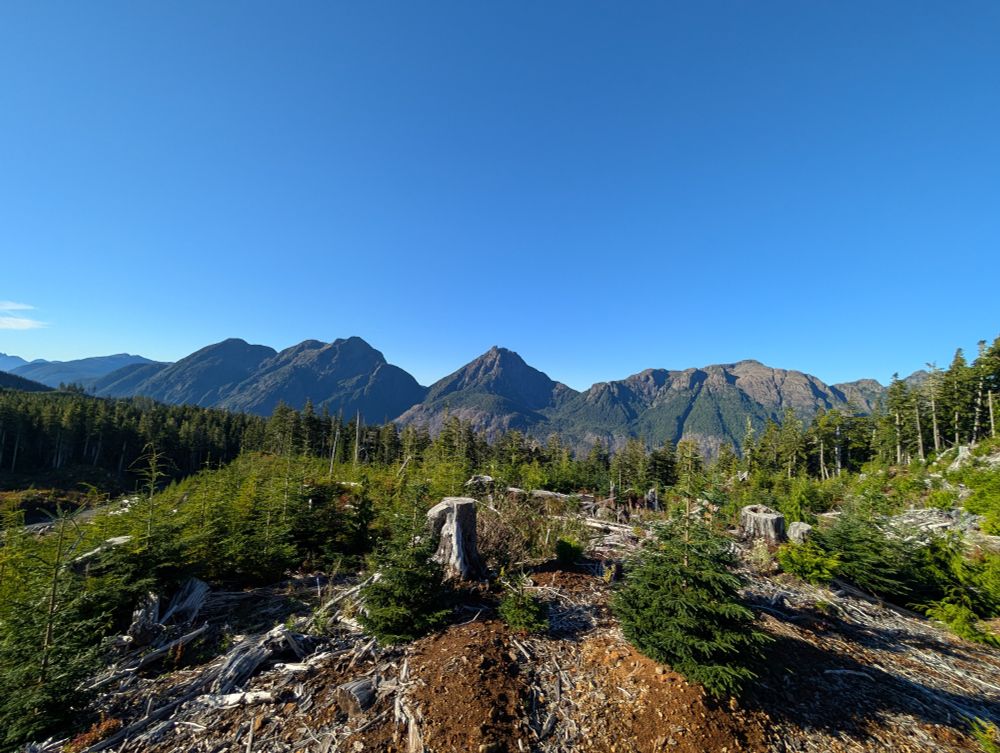
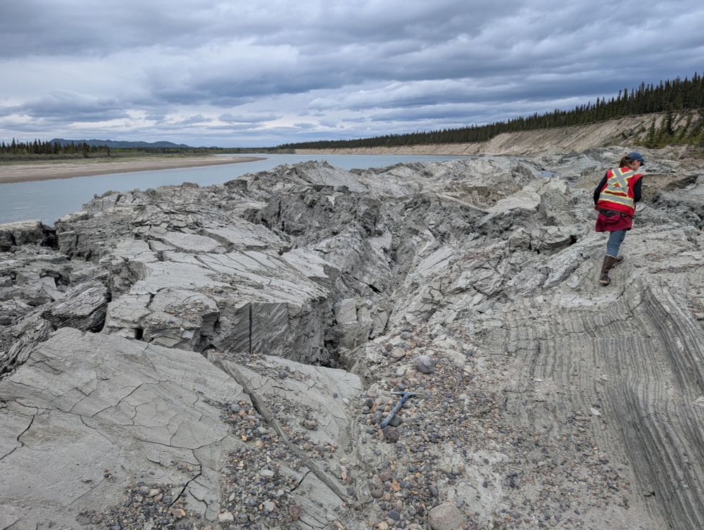
The role of wildfires and forest harvesting on geohazards and channel instability during the November 2021 atmospheric river in southwestern British Columbia, Canada
During the November 2021 atmospheric river in British Columbia, Canada, hundreds of landslides were triggered. We found that geohazards occurred more frequently in wildfire burned areas and along for...
onlinelibrary.wiley.com


Reposted by Marc-André Brideau

ETH Zurich
@ethz.ch
· Dec 13
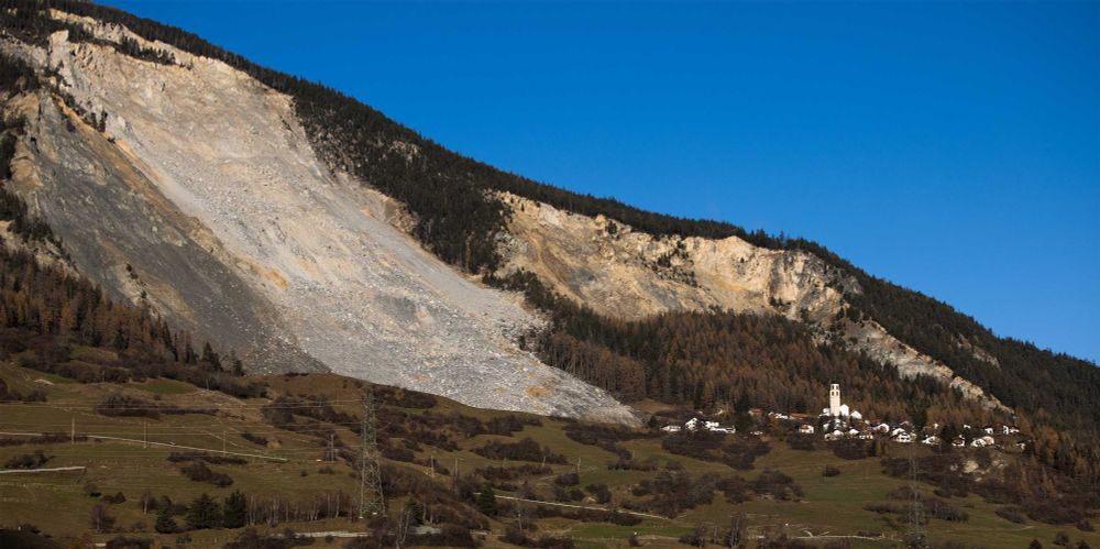
“We needed to know how far and how fast the event could travel”
Brienz has just been evacuated for the second time. The decision is based, among other things, on thousands of simulations that ETH professor Jordan Aaron has produced using a computer model he develo...
ethz.ch

