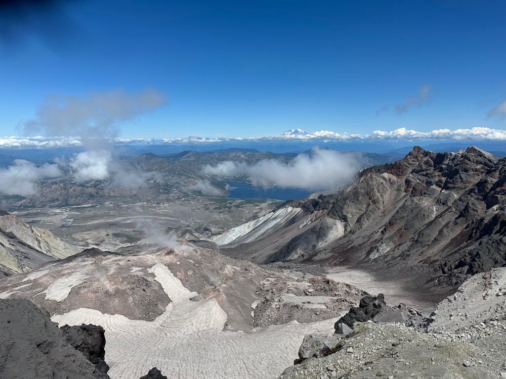
Mount St. Helens in 1980
@mountsthelens1980.bsky.social
6.8K followers
950 following
3.3K posts
Hi there, I’m Chris.
Just a guy who is endlessly fascinated by the 1980 eruption of Mount St. Helens (Lawilátɬa/Loowit). #MSH45
About Me: https://bsky.app/profile/mountsthelens1980.bsky.social/post/3lohgbvt4ab2d
Links: https://linktr.ee/sthelensin1980
Posts
Media
Videos
Starter Packs


Reposted by Mount St. Helens in 1980


Reposted by Mount St. Helens in 1980

Reposted by Mount St. Helens in 1980


Reposted by Mount St. Helens in 1980


Reposted by Mount St. Helens in 1980

Reposted by Mount St. Helens in 1980

Reposted by Mount St. Helens in 1980