Chris Holmes
@opencholmes.bsky.social
1.4K followers
49 following
110 posts
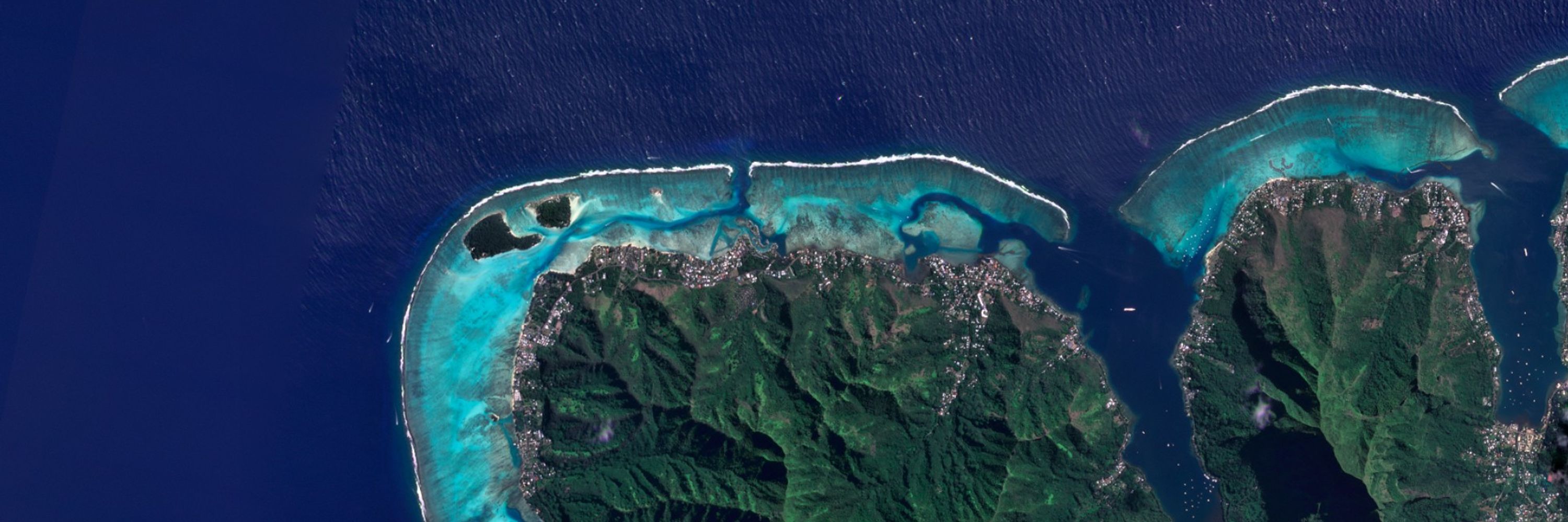
Working towards a Cloud-Native Geospatial future, through involvement in GeoParquet, Planet Labs, Taylor Geospatial Engine, Fiboa, STAC & Source Cooperative.
Posts
Media
Videos
Starter Packs


Reposted by Chris Holmes
Reposted by Chris Holmes
Reposted by Chris Holmes


Chris Holmes
@opencholmes.bsky.social
· Apr 9

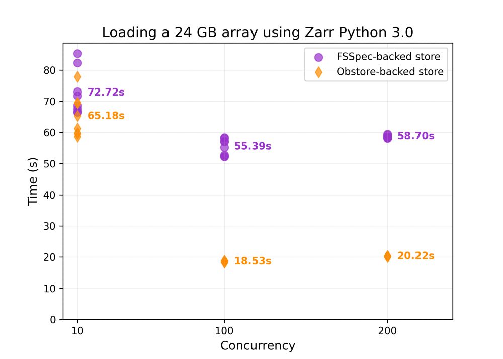
Chris Holmes
@opencholmes.bsky.social
· Apr 9
Reposted by Chris Holmes

Reposted by Chris Holmes

Reposted by Chris Holmes

Reposted by Chris Holmes
Pete Gadomski
@gadom.ski
· Mar 4
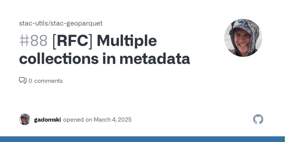
[RFC] Multiple collections in metadata · Issue #88 · stac-utils/stac-geoparquet
The spec currently describes how to store a single collection in the metadata: stac-geoparquet/spec/stac-geoparquet-spec.md Lines 72 to 77 in 121f648 ## Including a STAC Collection JSON in a STAC G...
github.com
Reposted by Chris Holmes

Chris Holmes
@opencholmes.bsky.social
· Mar 2
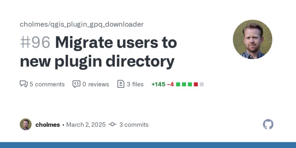
Migrate users to new plugin directory by cholmes · Pull Request #96 · cholmes/qgis_plugin_gpq_downloader
This should hopefully close #94 when merged.
I'm not totally sure this is the best approach, but is what the AI's (claude 3.7-sonnet) recommended. It replaces the existing directory with a ...
github.com
Chris Holmes
@opencholmes.bsky.social
· Mar 2
Reposted by Chris Holmes

Reposted by Chris Holmes

Reposted by Chris Holmes

Hamish
@polemic.nz
· Feb 21

Add a GDAL_RELEASE_NICKNAME define by rouault · Pull Request #11865 · OSGeo/gdal
GDAL is an open source MIT licensed translator library for raster and vector geospatial data formats. - Add a GDAL_RELEASE_NICKNAME define by rouault · Pull Request #11865 · OSGeo/gdal
github.com
Chris Holmes
@opencholmes.bsky.social
· Feb 20
Chris Holmes
@opencholmes.bsky.social
· Feb 20