Posts
Media
Videos
Starter Packs
Reposted by Nico


Reposted by Nico
Reposted by Nico

Reposted by Nico


Reposted by Nico


Reposted by Nico

Nico
@remote-nico.bsky.social
· Jul 8

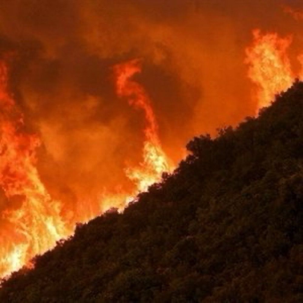
El matí de Catalunya Ràdio - Jordi Vendrell: "Catalunya ha de cremar, però ha de cremar bé" - 3Cat
En el programa especial d'"El matí de Catalunya Ràdio" sobre l'incendi del Baix Ebre parlem amb Jordi Vendrell, director de la Fundació Pau Costa i expert en prevenció d'incendis.
www.3cat.cat
Reposted by Nico


Reposted by Nico
Reposted by Nico


Reposted by Nico

Reposted by Nico
Reposted by Nico


Reposted by Nico

Reposted by Nico

Reposted by Nico

Reposted by Nico
Reposted by Nico


Reposted by Nico