


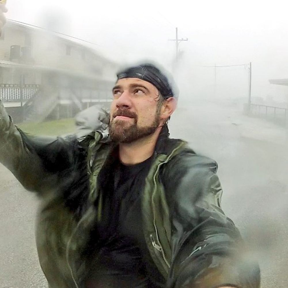
Chris McBee
@mcbeewx.com
#Stormchaser 20+ years based in OKC. Severe weather enthusiast, occasional stand-up comic. Former news photog. Husband to @pondert.art. Extra/videographer in Twisters. Big OU fan. Love a good #tornado pic.
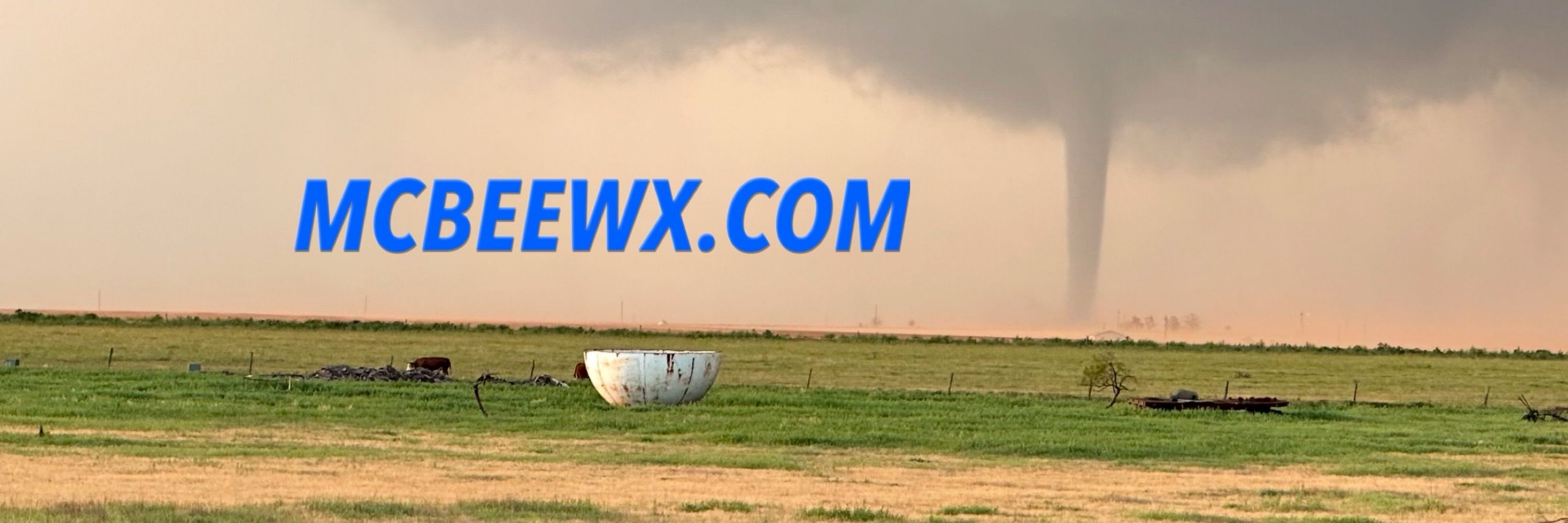
mcbeewx.com
mcbeewx.com
Pinned
Chris McBee
@mcbeewx.com
· Jan 7

For #TornadoTuesday, the May 18, 2013 Rozel, Kansas #tornado as it was first touching down. This sunset tornado was one of the most photogenic @pondert.art and I have ever witnessed. #WxSky
Reposted by Chris McBee

That 94 recorded by the Tipton Mesonet site on Saturday tied for the second-highest temperature ever recorded during November in Oklahoma! Tops are the 95s recorded by the Hollis Mesonet site back on Nov. 7, 2023, and also at Coalgate on Nov. 1, 1937. #okwx #okmesonet

November 16, 2025 at 7:15 PM
That 94 recorded by the Tipton Mesonet site on Saturday tied for the second-highest temperature ever recorded during November in Oklahoma! Tops are the 95s recorded by the Hollis Mesonet site back on Nov. 7, 2023, and also at Coalgate on Nov. 1, 1937. #okwx #okmesonet
It’s just seasoning salt… but probably time to throw it out lol

November 14, 2025 at 7:11 PM
It’s just seasoning salt… but probably time to throw it out lol
Reposted by Chris McBee

Video shows lava shot over 1,000 feet into the air from Hawaii's Kilauea volcano on Sunday. The impressive eruption was accompanied by a "volnado," or a tornado-like swirl of dust and ash caused by the contrast between the heated air near the lava and the cooler ambient air.
November 11, 2025 at 11:00 AM
Video shows lava shot over 1,000 feet into the air from Hawaii's Kilauea volcano on Sunday. The impressive eruption was accompanied by a "volnado," or a tornado-like swirl of dust and ash caused by the contrast between the heated air near the lava and the cooler ambient air.
Another Oklahoma sunset. #WxSky #photography

November 8, 2025 at 11:35 PM
Another Oklahoma sunset. #WxSky #photography


November 7, 2025 at 5:35 PM
Reposted by Chris McBee

Typhoon #Kalmaegi has intensified to the equivalent of a category 4 on the Saffir-Simpson Hurricane Wind Scale with maximum sustained winds of 130 mph. It will be making landfall in the next several hours over central Vietnam.
November 6, 2025 at 3:35 AM
Typhoon #Kalmaegi has intensified to the equivalent of a category 4 on the Saffir-Simpson Hurricane Wind Scale with maximum sustained winds of 130 mph. It will be making landfall in the next several hours over central Vietnam.
Halloween was underwhelming… very few trick-or-treaters. Was it meh for anyone else?
November 1, 2025 at 1:02 AM
Halloween was underwhelming… very few trick-or-treaters. Was it meh for anyone else?
Reposted by Chris McBee

Nighttime polar orbiter satellite photos of Jamaica before and after #Melissa show how the power grid was affected. Melissa knocked out power to about 77% of Jamaica’s customers, said Minister of Local Government Desmond McKenzie. Photos from worldview.earthdata.nasa.gov

October 30, 2025 at 2:16 PM
Nighttime polar orbiter satellite photos of Jamaica before and after #Melissa show how the power grid was affected. Melissa knocked out power to about 77% of Jamaica’s customers, said Minister of Local Government Desmond McKenzie. Photos from worldview.earthdata.nasa.gov
Reposted by Chris McBee

Surface analysis map from 13 years ago today as former Hurricane Sandy moved inland. I thickened the "outermost closed isobar" to highlight the size of that enormous low pressure system.

October 30, 2025 at 10:18 AM
Surface analysis map from 13 years ago today as former Hurricane Sandy moved inland. I thickened the "outermost closed isobar" to highlight the size of that enormous low pressure system.
Reposted by Chris McBee

Alrighty, ready to see something really cool? (and maybe a little nauseating)
The evolution of Hurricane Melissa's mesovortices at peak strength.
The evolution of Hurricane Melissa's mesovortices at peak strength.
October 29, 2025 at 8:10 PM
Alrighty, ready to see something really cool? (and maybe a little nauseating)
The evolution of Hurricane Melissa's mesovortices at peak strength.
The evolution of Hurricane Melissa's mesovortices at peak strength.
Reposted by Chris McBee

#Melissa makes landfall in southwestern Jamaica near New Hope as a powerful category 5 hurricane. For the latest updates visit http://hurricanes.gov https://pbs.twimg.com/media/G4XOBZmWcAAVNu6.png


October 28, 2025 at 5:19 PM
#Melissa makes landfall in southwestern Jamaica near New Hope as a powerful category 5 hurricane. For the latest updates visit http://hurricanes.gov https://pbs.twimg.com/media/G4XOBZmWcAAVNu6.png
Reposted by Chris McBee

#Melissa's landfall intensity of 185 mph/892 mb ties it with the Florida Key's Labor Day Hurricane of 1935 as the record minimum pressure of any TC making landfall *anywhere* the NATL basin. I feel for the residents of #Jamaica 😞
Zoomed in G19 visible meso loop courtesy of @cyclonicwx.bsky.social
Zoomed in G19 visible meso loop courtesy of @cyclonicwx.bsky.social
October 28, 2025 at 5:14 PM
#Melissa's landfall intensity of 185 mph/892 mb ties it with the Florida Key's Labor Day Hurricane of 1935 as the record minimum pressure of any TC making landfall *anywhere* the NATL basin. I feel for the residents of #Jamaica 😞
Zoomed in G19 visible meso loop courtesy of @cyclonicwx.bsky.social
Zoomed in G19 visible meso loop courtesy of @cyclonicwx.bsky.social
Just unimaginable strength and danger.

October 28, 2025 at 2:20 AM
Just unimaginable strength and danger.
Reposted by Chris McBee

The monster eye at the center of a still strengthening Hurricane Melissa.
October 27, 2025 at 4:54 PM
The monster eye at the center of a still strengthening Hurricane Melissa.
Reposted by Chris McBee

10/27 5am EDT: #Melissa has strengthened to a Category 5 hurricane with 160 mph winds and a 917 mb central pressure, confirmed by the Air Force Reserve Hurricane Hunters. Conditions in #Jamaica will rapidly deteriorate later today and tonight.
See hurricanes.gov for the latest details.
See hurricanes.gov for the latest details.


October 27, 2025 at 2:11 PM
10/27 5am EDT: #Melissa has strengthened to a Category 5 hurricane with 160 mph winds and a 917 mb central pressure, confirmed by the Air Force Reserve Hurricane Hunters. Conditions in #Jamaica will rapidly deteriorate later today and tonight.
See hurricanes.gov for the latest details.
See hurricanes.gov for the latest details.
Reposted by Chris McBee

MLB issues Flash Flood Emergency [flash flood: radar indicated, flash flood damage threat: catastrophic] for Lake [FL] till Oct 27, 1:00 AM EDT Link

October 27, 2025 at 1:57 AM
MLB issues Flash Flood Emergency [flash flood: radar indicated, flash flood damage threat: catastrophic] for Lake [FL] till Oct 27, 1:00 AM EDT Link

Reposted by Chris McBee
#weatherpicofday
Documented 7 tornadoes over Southwest Kansas between the communities of Dodge City and Cold Water during a regional coldcore outbreak OTD 19 years ago, October 26, 2006. Most were landspout variety with triplets at one point. w/ Mark McGowan #KSwx
Documented 7 tornadoes over Southwest Kansas between the communities of Dodge City and Cold Water during a regional coldcore outbreak OTD 19 years ago, October 26, 2006. Most were landspout variety with triplets at one point. w/ Mark McGowan #KSwx


October 26, 2025 at 12:04 PM
#weatherpicofday
Documented 7 tornadoes over Southwest Kansas between the communities of Dodge City and Cold Water during a regional coldcore outbreak OTD 19 years ago, October 26, 2006. Most were landspout variety with triplets at one point. w/ Mark McGowan #KSwx
Documented 7 tornadoes over Southwest Kansas between the communities of Dodge City and Cold Water during a regional coldcore outbreak OTD 19 years ago, October 26, 2006. Most were landspout variety with triplets at one point. w/ Mark McGowan #KSwx
October 26, 2025 at 2:29 PM
October 26, 2025 at 4:59 AM

October 25, 2025 at 2:22 AM

October 25, 2025 at 2:14 AM