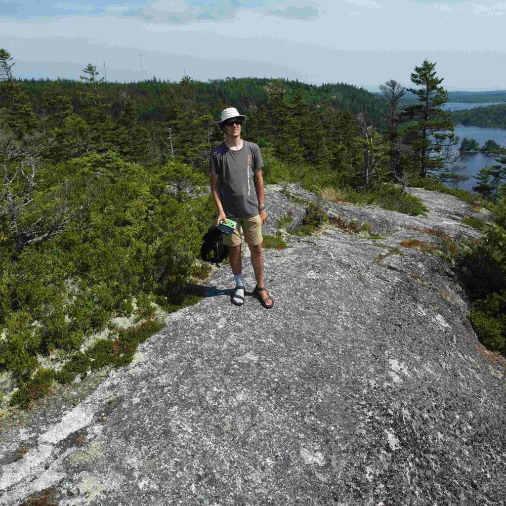
Toren Hynes, M.Sc.
@torenwx.bsky.social
430 followers 150 following 390 posts
PhD Candidate with Dasog Lab at Dalhousie University. Amateur hurricane tracker. NAFO Fella. Proud Nasty Canadian.
Posts Media Videos Starter Packs
Pinned
torenwx.bsky.social
If you enjoy canoeing in eastern HRM, check out my "canoe routes of Eastern NS" book. It features details and descriptions of popular routes such as Tangier Grand Lake, Three Mile Lake Cabin, and Skull Lake Loop.
It's available on Kijiji here:
www.kijiji.ca/v-view-detai...
torenwx.bsky.social
Every day, the usa is inching closer to a civil war.
torenwx.bsky.social
Go burn some MAGA flags!
Reposted by Toren Hynes, M.Sc.
vanellemusic.bsky.social
Sigh.
This is one of the misinformation rage baiting points.
The real difference? If you make more YOU PAY MORE.
Comparison chart
torenwx.bsky.social
There we go, an official 30C reading in #NovaScotia in #October. That's quite unusual.
The CB Mesonet shows that many inland locations in NS exceeded 30C, with the hot spot being Windsor approaching 32C! (Humidex 36).
This hour's hot and cold spots ...
Hot spot in Nova Scotia: 30.3 °C86.5 °F Upper Stewiacke

Cold spot in Nova Scotia: 15.7 °C60.3 °F St.Paul Island

Hot spot in Canada: 30.7 °C87.3 °F CFB Gagetown, NB

Cold spot in Canada: -10.9 °C12.4 °F Isachsen, NU A selection of high temperatures across Mainland NS on October 6, with many inland locations exceeding 30C.
Reposted by Toren Hynes, M.Sc.
wxdam.com
This is quite the ridge over the eastern half of the U.S. and Canada.

It's warmer in Moosonee, Ontario—located on the shores of James Bay—than it is down in New Orleans.
A temperature map across the U.S. and parts of Canada and Mexico on Sunday afternoon. 70s and 80s bathe the eastern half of the continent.
torenwx.bsky.social
Sounds suspiciously similar to the way ICE treats detainees in the usa these days.
Reposted by Toren Hynes, M.Sc.
climatedad.bsky.social
“We’ve only known this would happen for 113 years, let our kids figure it out!”
Reposted by Toren Hynes, M.Sc.
yhzweatherguy.bsky.social
September: warmer than normal... very very dry!
ryansnoddon.bsky.social
September recap via ECCC's Climate Atlantic.
Ongoing drought conditions continue to be the headline.
Most of the region was far drier than average, however the most extreme conditions were experienced across northern Nova Scotia with just 10 to 30 mm of rainfall.
#nswx #nbwx #halisky
Reposted by Toren Hynes, M.Sc.
ryansnoddon.bsky.social
Signs of the ongoing drought are everywhere...
This is McMaster Mill Falls (also known as Rockville Notch Falls), located on South Mountain, just outside of Greenwood, Nova Scotia.
The picture on the left was taken a few days ago. Picture on the right was taken early Oct 2024.
📷 Julie Mann
torenwx.bsky.social
@guardtheleaf.bsky.social, did you know that our emissions rules in Canada are tied to those of the USA? This has resulted in some issues for Edison Motors, a new Canadian company trying to build hybrid electric trucks in BC.
www.youtube.com/shorts/U3vO8...
www.youtube.com/shorts/u0T5R...
It’s US EPA rules holding us up, not Canadian rules
YouTube video by Edison Motors
www.youtube.com
torenwx.bsky.social
And what do you know, #HUMBERTO made it to Category 5 status. Winds of 260 km/h.
Very impressive.
I believe this will be the first season where two Cat 5 hurricanes form and neither (most likely) makes landfall? Most Cat 5 hurricanes in the Atlantic have made landfall historically.
#HurricaneSeason
torenwx.bsky.social
That's one impressive hurricane if I've ever seen one. Probably close to Category 5 at this point, if it's not there already. Thankfully this system is expected to remain well away from land throughout its entire existence. #HUMBERTO
Reposted by Toren Hynes, M.Sc.
cyclonicwx.bsky.social
#Humberto has a meso sector on it now. As a strong Category 4, it has a nice, cleared out stadium effect eye. You can even see the low level clouds spinning around in the eye! Always love the views like this
torenwx.bsky.social
The calendar might indicate fall, but there's increasing consensus that the stretch from October 4th to 11th might feel more like summer across much of Atlantic Canada, with well above-seasonal temperatures likely reaching the low to mid 20s. #NSwx #NBwx #PEwx #NLwx
torenwx.bsky.social
#HUMBERTO looks very impressive at the moment with strong convection surrounding a round, clear eye, and I'd say it's likely to make a run for Category 4 by tomorrow morning.
It does appear that the storm has wobbled south a little over the past few hours, which may bring it closer to #PTC9.
Hurricane Humberto firing formidable convection down to -80C around a clear eye, located near 22.1N 58.3W. Hurricane Humberto earlier today with somewhat less intense convection around its eye, located around 18.2N 57.8W.
Reposted by Toren Hynes, M.Sc.
michaelrlowry.bsky.social
Hurricanes on visible at sunset never disappoint. Humberto firing on all cylinders tonight as a major. Already seeing signs of mesovortices in its eye, with an explosive convective burst in its southern eyewall. Humberto swinging for the fences, thankfully safely over open water.
Reposted by Toren Hynes, M.Sc.
cyclone-fogarty.bsky.social
Rainfall totals from recent weather system (mm). #nswx #pewx
Reposted by Toren Hynes, M.Sc.
cyclonicwx.bsky.social
Crazy eye clearing with #Humberto this morning. Looks like shear was less of an issue then thought and we got rapid intensification. Probably closer to major than 75kt
torenwx.bsky.social
Why is there an asterisk behind Canada? Is that because getting into a war with Canada would be russia's undoing?
Or because the US might take this as an opportunity to invade Canada?
torenwx.bsky.social
USians, just remember a four-letter word:
TACO.
Trump Always Chickens Out [when you apply pressure]
torenwx.bsky.social
What's more fun than trying to predict the track/intensity of one tropical storm?
Trying to predict two of them that are close to one another.
I'm fairly confident #93L will become a strong system and follow #GABRIELLE out to sea, but #94L? I have no idea where that'll go or its intensity.
GFS shows a fairly strong 93L south of Bermuda and a weak and disorganized 94L near the Bahamas on Monday Euro shows a strong 93L south of Bermuda and a decently well organized 94L north of the Bahamas. CMC shows a strong 93L south of Bermuda and a decently well organized 94L near the Bahamas.
torenwx.bsky.social
Although #GABRIELLE no longer has a visible eye on IR, microwave imagery shows that the storm still has an eye and a good core structure (as of 12Z), although it's starting to be eroded on the SW side due to wind shear.
Still expected to be a hurricane at landfall in the Azores. #HurricaneSeason
Microwave satellite imagery of Hurricane Gabrielle at 12Z, showing a well developed core (red and yellow) and an eye (blue) IR satellite imagery of Hurricane Gabrielle, showing a circular mass of clouds with some deeper convection near the centre.
Reposted by Toren Hynes, M.Sc.
ryansnoddon.bsky.social
As Fall officially begins, here's a look back at the past 90 days of summer and the drought conditions across the Maritimes.
Most of the region saw a rainfall deficit near 100 to 150 mm, with the Bay of Fundy region departure from average in the 150-200+ mm range.
#nswx #nbwx #halisky